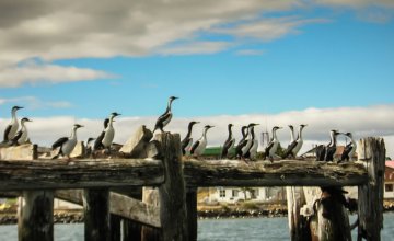
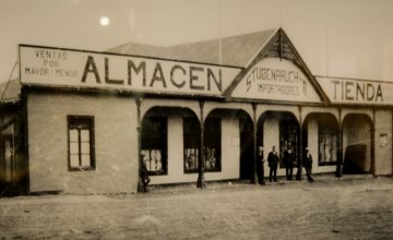
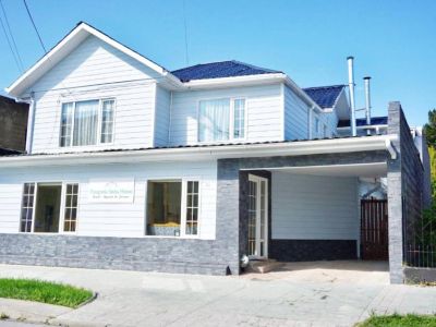
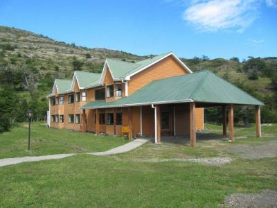
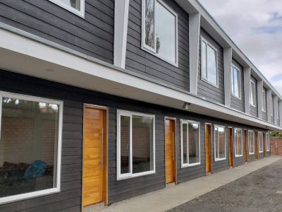
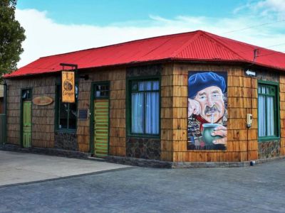
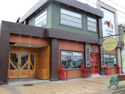
Puerto Natales, located 150 kilómetros from the Torres del Paine National Park, was our base. From Argentina, we entered the neighboring country through the Dorotea Pass, located in the carboniferous city of Río Turbio. After 10 short kilometers, we came across the trans-Andean city. Puerto Natales is the capital of the province of Última Esperanza. Located level with the sea, on the shores of the Señoret channel and opposite the Patagonian Andes Mountain Range, this is a city with a remarked English influence evidenced by its architecture, its stores and some of its customs. It has a very good tourist infrastructure, with a capacity to lodge a large number of visitors that enjoy its coffee-shops, restaurants, casino, commercial venues and important travel agents that offer programs not to be missed.
Land of Giants
Both colossal and unique, the Torres del Paine rise in Southern Chilean Patagonia in a superb mood over the surrounding landscape.
-
Unique
-
Get ready with the necessary gear
-
Walking time
-
Southern Chilean Patagonia
-
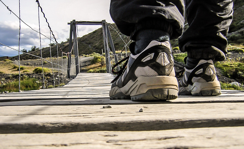
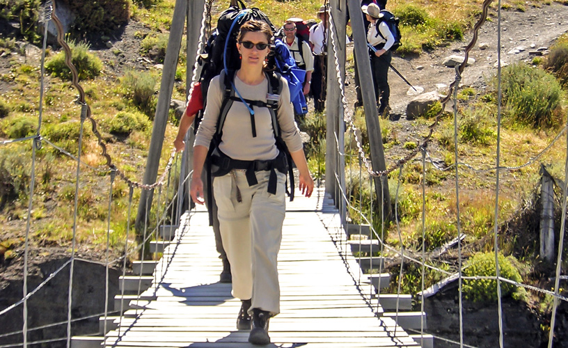
Hanging footbridges over creeks
-
Magellan Landscapes
-
Heading for the Mountains
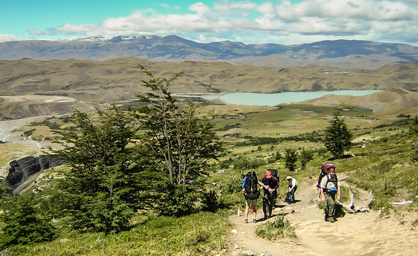
Hundred-year-old estancias devoted to cattle-raising, organic crops and, lately, tourism, dominate the surroundings.
Heading for the Mountains
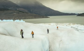
The excursions to the Torres del Paine National Park usually start very early. This way, excursionists can make the most of sunlight. We started the superhiking tour to the base of the towers. Route 9 took us to the park entrance, located opposite the Amarga Lagoon. We traveled along a paved road that later turned into a consolidated rubble road. Slowing down and beholding the panoramic sights is a good recipe. This way, we could get “disconnected” from urban habits and reach our destination without any risk.. or problem. The Torres del Paine are part of the eleven units of the national system of Protected Wild Areas of the XII Region of Chile , made up by five national parks, three reserves and three natural monuments, which spread across a total surface of approximately 6,728,744 hectares. Created in 1959, it was declared Reserve of the Biosphere by the UNESCO on April 28, 1978, with a surface of 242,000 hectares. The variety of vegetable and animal species, along with the attractive sceneries of its wild geography, turn this area into an ideal spot for the practice of adventure sports and contemplation. There are several authorized paths that go through the park and take visitors to the most beautiful spots. The best known circuits are the “W”, which takes 4 days minimum and crosses 76 kilometers, and the Paine Mass, taking 7 days and crossing 93 kilometers.Time for a Walk
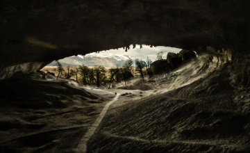
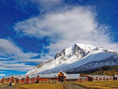
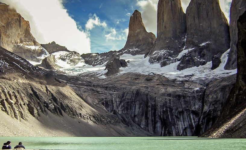
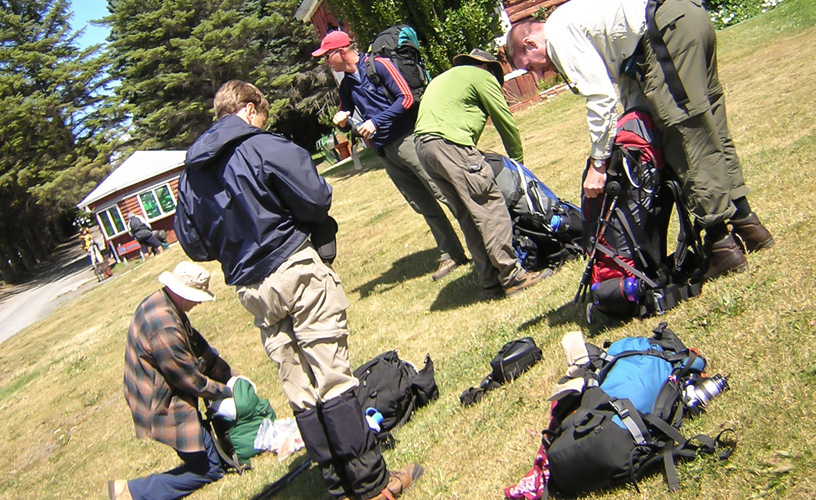
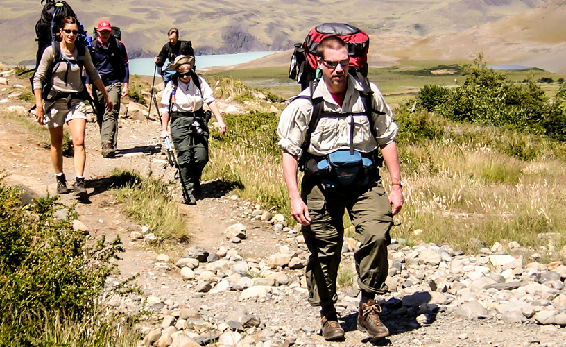
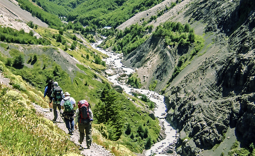
As we were short of time, we went straight to one of the most emblematic and marvelous spots in the park: the towers themselves. To get there, we headed for the Hostería las Torres – located inside the protected area– where we got the equipment ready in order to start walking. It is important to highlight that the national park contains various resorts that provide first-class lodging and gastronomy. Apart from the abovementioned inn, there are also the Pehoe, del Lago Grey, del Monte Balmaceda and del Río Serrano inns, the very exclusive Hotel Explora and countless shelters and camping sites that offer snacks and warm comfortable bedrooms, ideal to have a well-deserved rest. We began hiking with the great expectations to come across most of the local fauna. Among the mammals, the presence of cougars, foxes, guanacos and huemules is to be remarked; as regards the most attractive birds, condors, ostriches, black-necked swans and flamingos can be observed. The microclimates existing in the park generate an interesting and varied vegetable diversity mostly made up by pre-Andean shrubs, Magellan forest, Patagonian steppe and Andean desert. As we walked on, it was important to find the right pace and try to keep it. As a group of tourists accompanied us, we adopted the slowest pace. We got adapted to the changing weather conditions as we gained height. The closeness of the Southern Ice Field and the Pacific Ocean can make the meteorological conditions change in a matter of hours. The secret in Patagonia is to dress in layers in order to obtain maximum comfort with the less weight possible. For such purpose, it is important to wear wind resistant clothes which may dry fast. Therefore, it is not advisable to wear cotton clothes. The slope became steeper and steeper. As we went on hiking, we were lucky to see a condor hovering above us with its wings wide open. For a while, I felt the glow of its eyes on my face. With a cold piercing look, he flew above us and then fled away. After approximately four kilometers, we crossed the “Paso de los vientos” and began to border the Ascencio River, so called for being the hiding place of a well-known cattle thief bearing the same surname, outcast by the law for years in the 1930s. The park has many rivers, lagoons and lakes that have been formed by thaw from surrounding glaciers. The most important ice masses are the Pingo, Paine, Serrano and Grey, which give origin to spectacular water falls. It is important to drink water before being thirsty while walking or climbing, as this diminishes the risk of dehydration. With the senses triggered out in all directions, I could appreciate how the Torre Sur (southern tower), measuring 2,850 meters, would pop out amidst the mountain scenery. The eagerness to arrive and watch the entire scenery increased, thus renovating the spirit to go on walking. After a two-and-a-half-hour walk, we arrived in the El Chileno refuge and camping site. We stopped for a rest. We took advantage of the moment to have some lunch rich in proteins, glucose and amino acids. Before the body got completely cold, we continued hiking. The most difficult part was still ahead. Intense climbs and abrupt descents followed. A thick lenga forest lodged us for a few moments. We crossed hanging footbridges over creeks and mountain water furrows. We left the Campamento Torres, where one of the forest rangers post is located, and began to climb up a rock moraine up to the base of the towers itself.A Granite and Ice Collosus
We quickly forgot everything about sprains, cramps or exhaustion. The postcard displayed before our eyes was worth the effort. In silence we beheld the Torres del Paine, Mount Nido de Cóndor and the lagoon formed by the Torres Glacier. In this area, the upper layers of the earth´s crust raised twelve million years ago with massive strength to elevate the rock and ice summits of the Torres del Paine into the sky. Time and erossion sculpted and gave shape to these 2,000-high monoliths. We were grateful to the mountain for letting us reach its heights. We went down the moraine up to the shores of the lagoon and, among sighs and fascination, we let time pass. The impressive rock formation is made up by the Torre Sur (southern tower), measuring 2,850 meters, the Torre Central (central tower), 2,800 meters high, the Torre Norte (northern tower), 2,248 meters high, and Mount Nido de Cóndor, 2,243 meters high. Before returning to Natales, as I was startled by the towers, the emotive description made by Father Alberto De Agostini in his book “Paisajes Magallánicos” (Magellan Landscapes), which I had read before visiting the park, came to my mind: “The Paine Massif acquires such mysterious majesty and beauty that the spirit is powerfully fascinated. The blue and violet shades of its ravines make vivid contrast with the pink and crimson of its towers and pyramids, boldly thrown against the blue color of the sky.” And the best of it all is that it was true. ![]() Marcelo Sola
Marcelo Sola ![]() Marcelo Sola
Marcelo Sola
Contact of the excursion or tour
Antares Patagonia Adventure
Barros Arana 111, Puerto Natales, XII Región, Chile
![]() Phone: +56 61-2414611
Phone: +56 61-2414611
Patagonia Antartica Ltda.
Lautaro Navarro 336, Punta Arenas, XII Región, Chile
![]() Phone: +56 61-2710744
Phone: +56 61-2710744