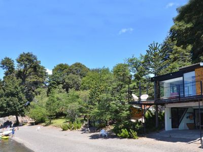
Quillén nature site features a great expressive strength, just like the Mapuche word chosen to name it. The multicolored forest, the translucent waters and the sports practiced there are gaining more and more enthusiasts.
Visiting Lake Quillén is an adventure we should not reject. Almost unspoiled nature invites everyone to accept the thrill of going hiking in the surroundings. We left
Villa Pehuenia heading for
Aluminé along Provincial Route 23 and after 60 kilometers we accessed Provincial Route 46 westwards, towards the mountain range. The Quillén River escorted us during our journey and we had the chance to see some fly-fishermen casting their lines on the waters. As we drove on, we got past the area where the
Mapuche Currumil community raised their typical wooden houses. We also saw some animals grazing. Several
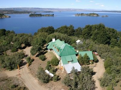
estancias raise cattle and some of them, like Quillén Inn, welcome hunters heading for the local game preserves. The lush vegetation showed us that we were entering Lanín National Park.
Coihue and
lenga trees prevail in the area. There are also monkey-puzzle trees and other species that have been introduced into this habitat. The deep hues of the flowers stood out on the thousand shades of green in the mountain. A visit to the park ranger station ensured the information we needed in order to tour around the park and not miss anything.

Lake Quillén Plays Hide and Seek
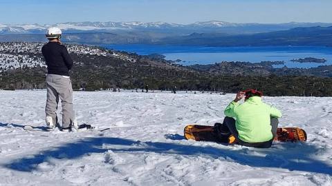
The northern shore of Lake Quillén is low, wide and stony. Sitting on a rock a few meters away from the water, we were amazed to discover the ice cone on the Lanín Volcano at almost 4,000 meters of height, standing out from behind the skyline. We opened our backpacks and pitched our tents at that very spot taking advantage of the benches, tables and toilets available. Like every good hiker, we studied the trails that would lead us to the planned spots, especially the path to Lake Hui Hui. In the meantime, our eyes followed a group of anglers crossing Lake Quillén on a small motorboat towards another area. Fishing in the river and the lake is regulated by the catch-and-release policy. Trolling is not allowed. This undoubtedly is a sport! The trail joining Lakes Quillén and Hui Hui is a classic among hikers and several signposts show the way. Only the beginning of the path was a little steep but then a plain stretch followed into typical mountain forest scenes. We were aware that we had to walk along 13 kilometers to reach our destination and that we would not be able to camp there; therefore, it was essential that we returned on the same day. We were ready to do it on foot and not by bike, like other sportsmen do it. “You know what? It is strawberry season and the park ranger said we would see some on the way.” A good desert for a day hiking under the summer sunshine. In the
Araucano tongue,
“Quillén” stands for “strawberry field”. The adventure was ready. We just needed to set it into motion.