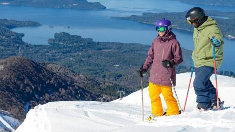
Bayo Hill functions as a ski resort during the winter and reaching its top is a good excuse year round to have a look at Lake Nahuel Huapi. We took Route 66, which would deposit us at the base of the ski resort. Some observation decks caught our attention, so we parked our car to investigate. There were three of them and the view of the big water body running from West to East was similar but from different points of view. “Have you brought your cameras?”, a foreign tourist asked with an accent. He had just taken a thousand shots. He was astonished by the view. And he was right to be: each of those wooden boards featured the view of a portion of water, forest and vastness that justified the expression “the South does exist too”.
Three Viewpoints and One Cascade in Bayo Hill
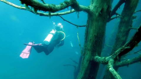
Water is the main object of admiration in this tour. It is part of the vastness of the lake and it shows off in a waterfall caused by a fracture in a basaltic rock area.
-
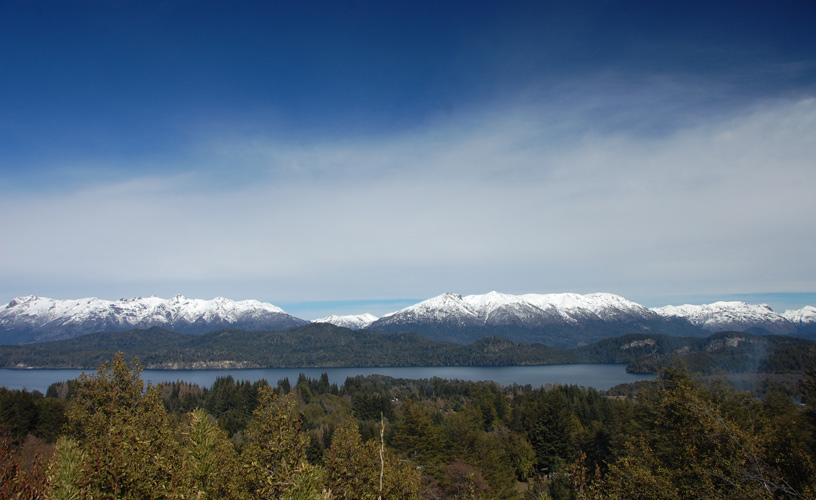
“The South does exist too”
-
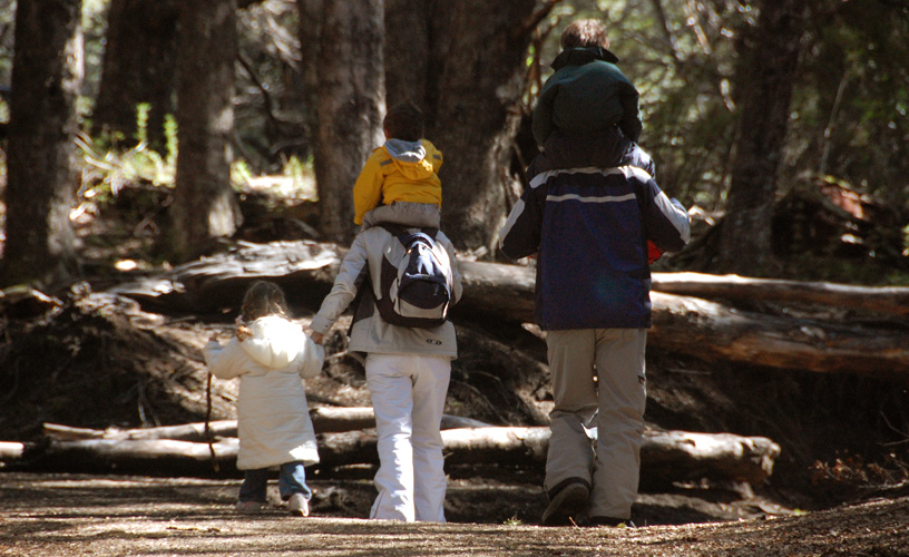
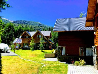
Very gloomy coihue forest
-
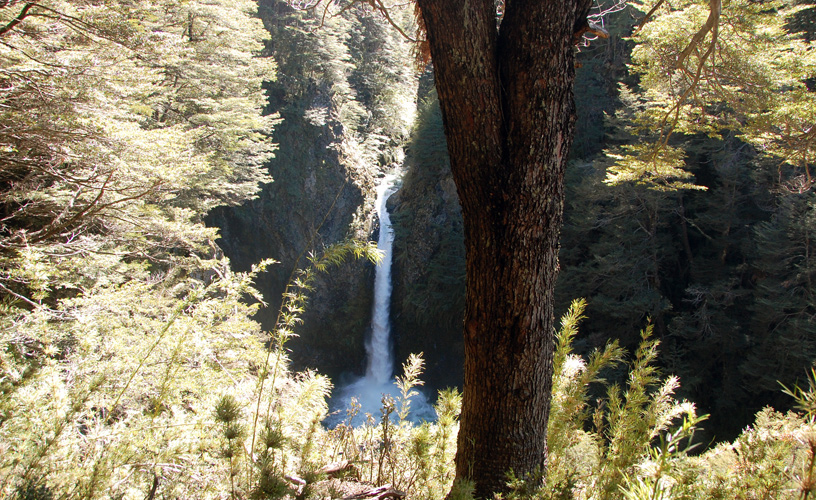
A waterfall
-

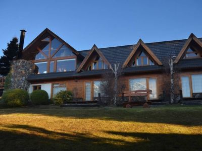
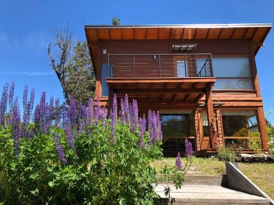
The wooden deck with rails
The first balcony overlooked the center of the Village; the second one, the middle of the lake; and the third one, the area called Huemul. Three looks of one same lake that could be reproduced by one panoramic shot. Following the broad path, easy to travel by car, we saw a coihue forest on the left. The trunks were thin and tall, featuring a grayish shade that would enhance a photograph. This area cannot be accessed but these specimens are certainly worth watching. Very close to the end of the path, we saw a sign on the right that would mark the trail to access the Bonito River and the cascade. It was a 200-meter-long slope amidst a very gloomy coihue forest. Misodendron and old man’s beard, parasite plants resting on other species without damaging them, took hold of our sight. They are the evidence of the high level of oxygen in the environment. We could hear the murmur of the water. To the left, in a clearing, we discovered the wooden deck with rails. From that spot, the cascade could be watched in its entire splendor. The river was very narrow and it ran along an abrupt fracture in the rock. As it reached the border, it fell into a pool lying 20 meters underneath making a deafening sound.
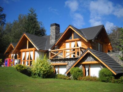
Wallpaper
In the foreground, some huge coihues were the perfect frame to take a picture of the waterfall. We lost sight of the river stream, which flew into the forest beyond the boundaries of private property. The vegetation near the pool was intensely green. It included moss, ferns and a mist with all the colors of the rainbow when crossed by a sun beam. We fixed our sight on the fall. The water seemed to break into a thousand pieces, as if it was disintegrating itself and producing incredible shapes our imagination changed into attractive figures. We bade farewell to that river, as many other tourist attractions of the same kind were still waiting for us. ![]() Mónica Pons
Mónica Pons ![]() Eduardo Epifanio
Eduardo Epifanio