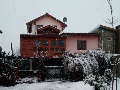
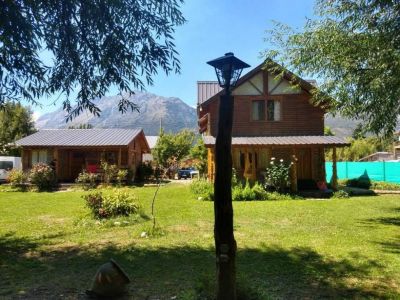
The District of El Hoyo is located on the northwest of the Province of Chubut and is part of what is known as the 42nd Parallel Andean Shire. Founded on September 5, 1953, its name –which stands for "the hole" in Spanish- comes from the topographic features of the valley in which it is immersed, which grant it that singular aspect.
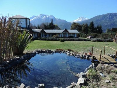
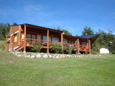
El Hoyo and its surroundings are framed by famous Mount Piltriquitrón to the north, Mount Currumahuida to the west and Pirque Massif to the south. The latter separates this village from neighboring Epuyén.
Some of its outstanding natural attractions include its extensive valley and the presence of the Epuyen River, which –together with the lake bearing the same name and with Lake Puelo- succeed in luring various generations of tourists who come along to enjoy these waters during the summer season.
First-comers will find that the most exceptional points are Puerto Patriada beach, as well as the sites known as La Catarata and El Desemboque, an enigmatic site where the Epuyén River empties its waters into Lake Puelo.
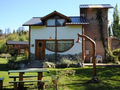
Its native forests, also dwelled by other species that have perfectly become adapted to this paradisiacal geography, turn out to be ideal for hiking, trekking and horseback riding. These activities have caused tourist operators to increase in the last few years.
During January, El Hoyo dresses up for the National Fine Fruit Festival. A busy cultural agenda spans three months and four days and completely transforms this pleasant small village.