Weather in Dina Huapi
Tourism in Dina Huapi
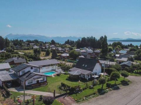
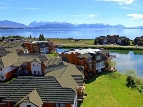
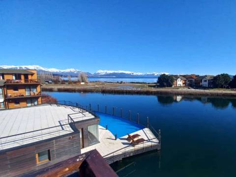
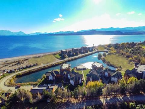
Dina Huapi lies on the south-eastern shore of the eastern end of Lake Nahuel Huapi, just south of the source of the Limay River, which marks the border with Neuquén. It is 15 km from downtown San Carlos de Bariloche and has 5,879 residents (2022 census).
Its name joins “Dina”, for Denmark, with the Mapuche word “huapi”, island: the “Danish island”, recalling its first settlers and its location between rivers and lake.
Things to do
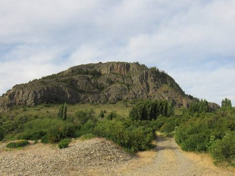
Cerro Leones and Cerro Villegas, beaches on the rivers and the lake, and a cycle path along the shore. It is a quieter, less urban alternative to Bariloche, a few minutes from all its attractions. Since 2013 the town has held the Steppe and Sun Festival (Fiesta de la Estepa y el Sol).
Getting here
It sits at the junction of national routes 23 and 40, 15 km from downtown Bariloche.
Climate
Cold, dry and continental. January averages 17 °C and July 0 °C; about 250 mm of precipitation falls each year, partly as snow.
History
The town grew on land owned by the Danes Kristian Hansen and José Brendstrup, who set up the area’s first dairy: its milk supplied Bariloche chocolate makers and hotels such as the Llao Llao. The land was subdivided in the 1970s, the first houses were built between 1974 and 1976, and growth picked up from the late 1980s. In 2008 the provincial legislature approved its status as a municipality.
Distances: 15 km from Bariloche · national routes 23 and 40