Outings and excursions · Dina Huapi
Cerro Leones: caves, rock art and an underground pool in Dina Huapi
Photos: Jmmuguerza · CC BY-SA 4.0 (Wikimedia Commons)
The remains of an ancient volcano out on the steppe, with caves painted by the region’s first inhabitants more than eight thousand years ago and a pool hidden inside the main cavern.
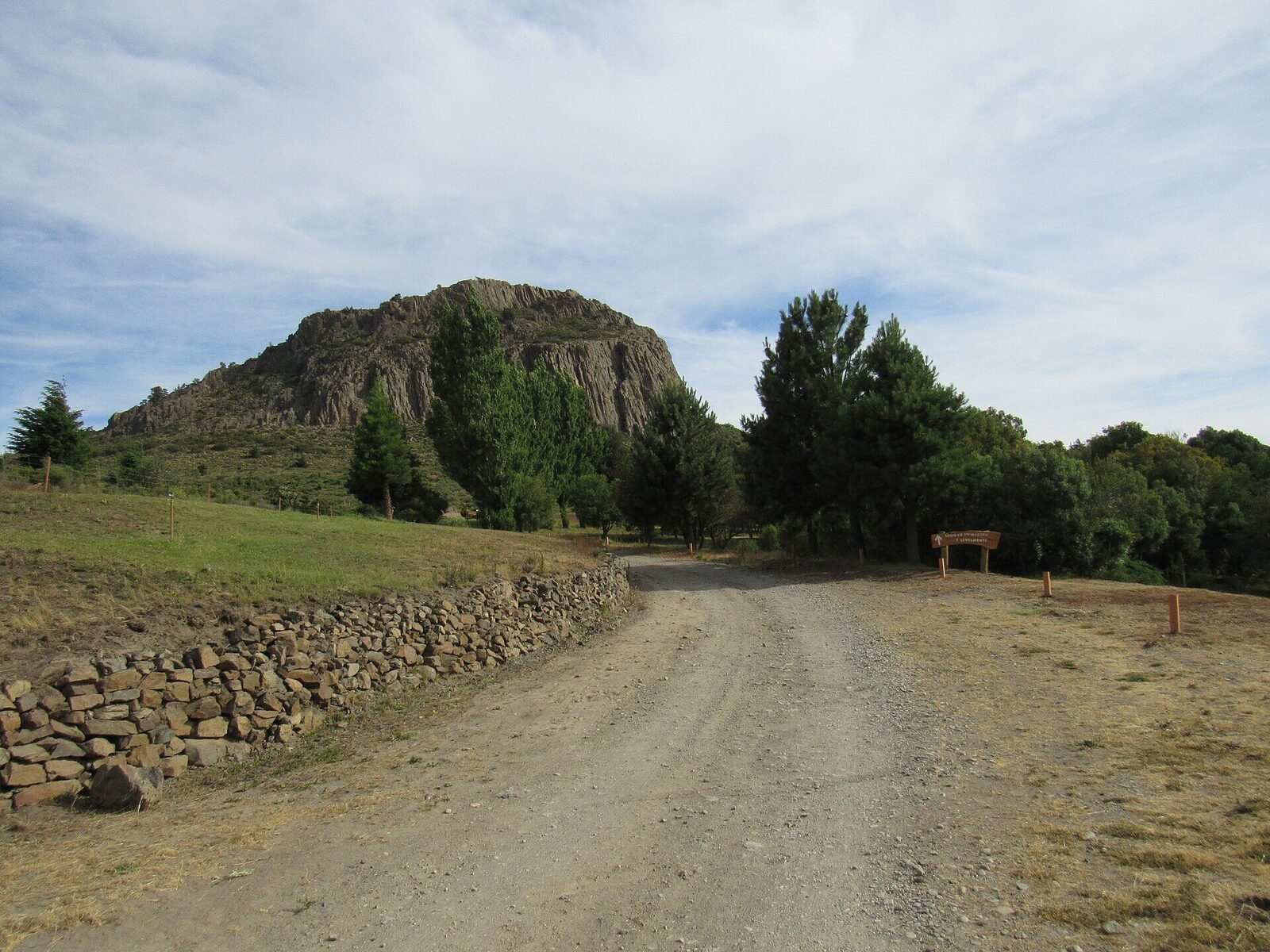
Dina Huapi, 15 kilometres from downtown Bariloche, has its own landmark out on the steppe: Cerro Leones, a rocky bastion formed by the remains of an ancient volcano. Its caves were inhabited by Indigenous peoples, and the region’s first inhabitants left rock art in them more than eight thousand years ago. Today they are visited with a guide, along trails with small bridges and walkways that climb to the summit.


Cerro Leones at a glance
An ancient volcano on the steppe
The hill rises on its own, a lone mass of rock, in the middle of the steppe around the town. It is a park visited with guides, who share the history, culture and geology of the place along the way. The trail passes a series of caves and rock shelters, and in some of the caves traces of the Indigenous rock art can still be seen.
The cavern with the pool
To the east lies the most important cavern, 30 metres wide and 130 metres long. Its main attraction is a natural pool fed by a spring inside the cave, reached through a narrow passage.
Up to the summit
The route to the top is 800 metres long and climbs along trails with small bridges and walkways. The ascent takes only a little effort, and the reward is the view: from the top you can see Dina Huapi and the landscape around it.
Then, the lakeshore
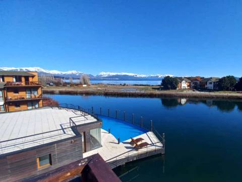
Dina Huapi sits on the south-eastern shore of the eastern end of Lake Nahuel Huapi, just south of where the Limay River begins. To round off the day there are its beaches on the lake and rivers, Cerro Villegas, and the bike path that crosses the town from the Ñirihuau River to the Limay.
Tip: Visits are guided and there is an entrance fee, so book ahead. The whole visit is on foot, with some uphill stretches, so wear comfortable shoes.