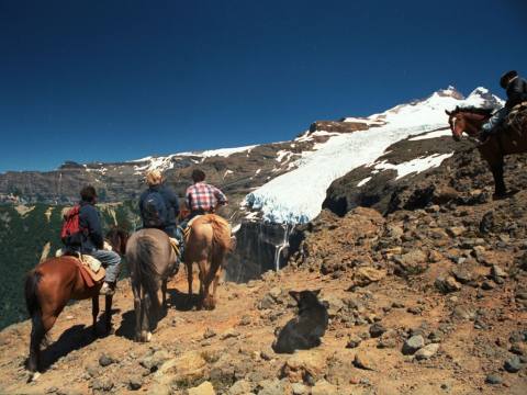
Cerro Otto is the mountain that rises right behind San Carlos de Bariloche, on the southern shore of Lake Nahuel Huapi and inside Nahuel Huapi National Park. Its summit stands 1,405 metres above sea level, about 5 kilometres from downtown. It is named after Otto Goedecke, one of the first settlers, who had a farm on its slopes in the Melipal area. Cypress forests cover the lower slopes and lenga beeches the upper ones, turning red in autumn.
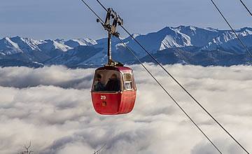
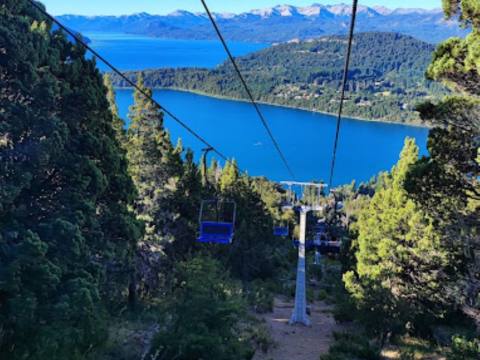
The classic way up is the cable car, which leaves from its base station on Avenida de los Pioneros, kilometre 5. Its 42 four-seat panoramic gondolas cover about 2,100 metres to the top station in around 12 minutes. The company runs free buses from downtown and there is free parking at the base. Tickets cannot be booked in advance; they are bought on the day. You can also drive or cycle up the gravel road, or walk to the Berghof refuge along the road that starts at kilometre 1 of Pioneros.
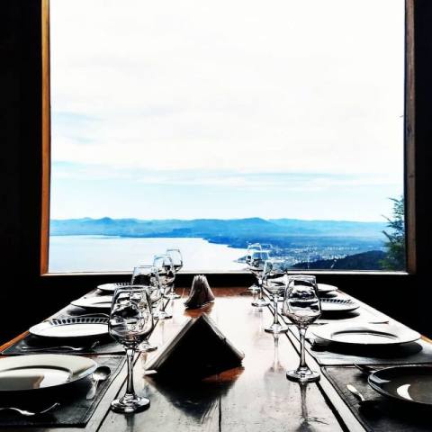
The cable car opened on 4 January 1974. It was the project of Boris Furman, a textile businessman born in Santa Fe, who bought the land from the Army and hired the Viennese firm Rudolf Kienast to build it. Soon afterwards he added the revolving café at the summit, the only one in the country: it turns a full 360 degrees in about 20 minutes, so the whole landscape goes by while you sip a hot chocolate. The complex belongs to the Sara María Furman Foundation, which donates its proceeds, mainly to the support association of Bariloche's Ramón Carrillo Hospital.
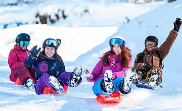
The view from the top is 360 degrees: to the north, the city and Lake Nahuel Huapi; to the east, Cerro Leones, Cerro Villegas and the steppe; to the south, Lake Gutiérrez; to the west, Cerro Catedral, Lake Moreno and the Andes. The summit also has an art gallery with life-size replicas of Michelangelo's David, Pietà and Moses, commissioned in 1995 from the Pietro Bazzanti gallery in Florence, a panoramic food court, viewpoints and walkways, a funicular, a zip line, a climbing wall, a maze, a suspension bridge and, when there is snow, sledding runs.
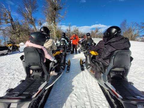
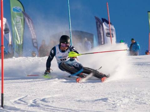
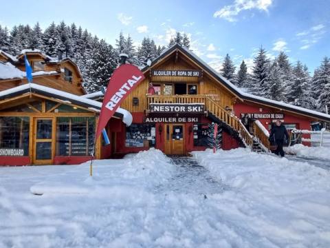
Halfway up, beside the road, is Piedras Blancas, which the city presents as the cradle of skiing in Argentina: in winter it has chairlifts, sled runs and beginner lessons, and its zip line runs all year. Nearby are the Winter Park, the Nordic Ski Center (cross-country skiing, snowshoeing and snowmobiles) and the EUCA aerial adventure park. Another classic is the Berghof refuge of the Club Andino Bariloche: it was built in the 1940s by Otto Meiling, a skiing pioneer and co-founder of the club in 1931; it burned down on 30 November 2011 and reopened in August 2013. Next to it, his former house is now a museum.
The mountain can be visited all year, except for a few weeks in May for maintenance. Strong wind or storms can stop the cable car, so check the hours on its official website before you go; pets are not allowed, and holders of the Argentine disability certificate (CUD) ride free with a paying companion.
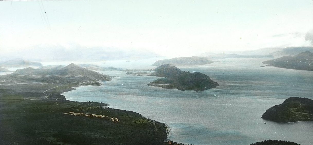
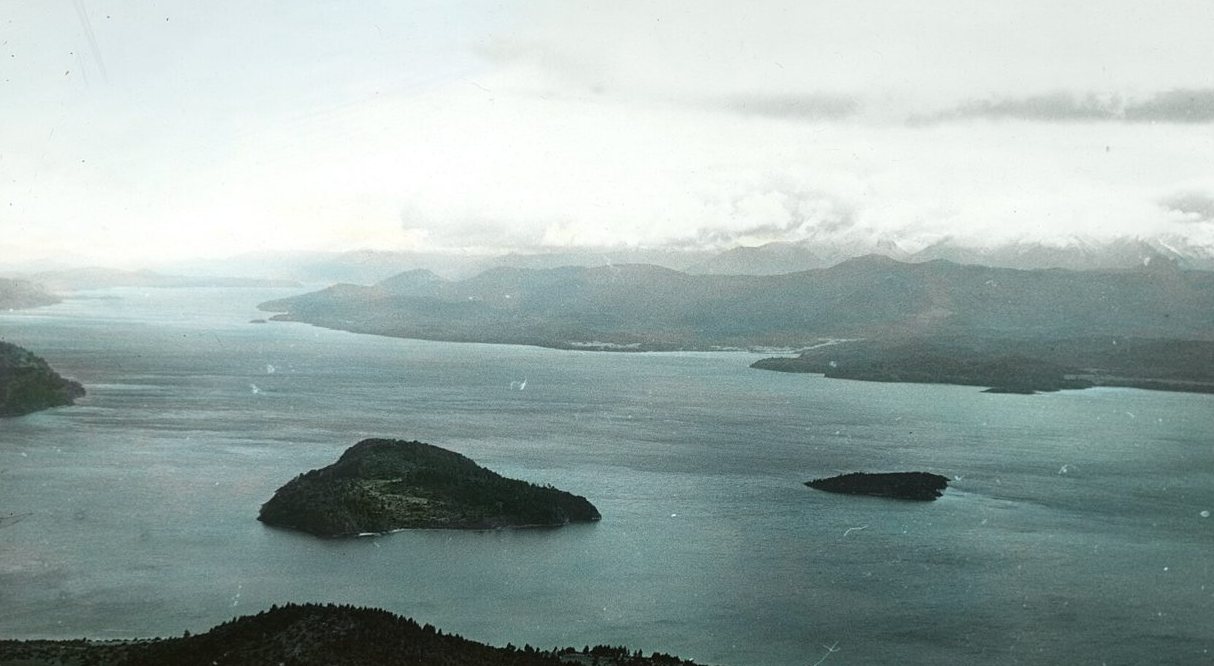
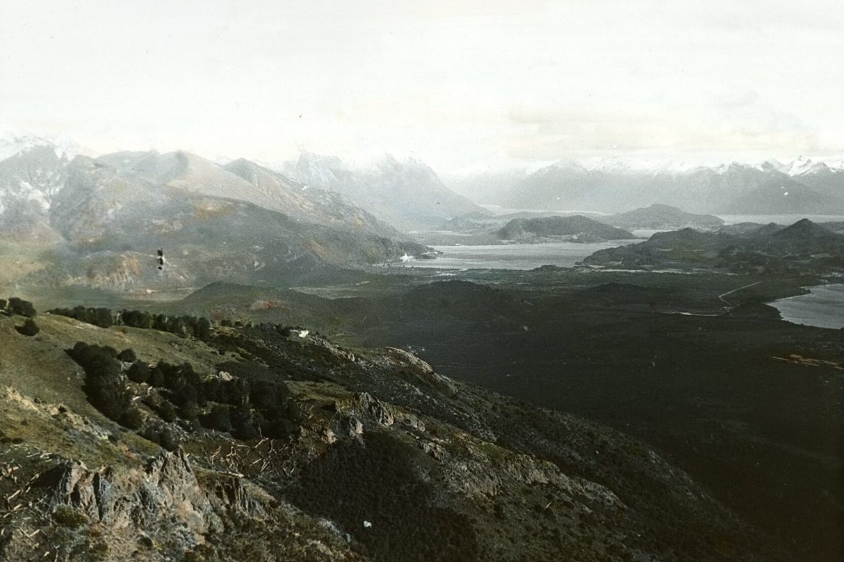
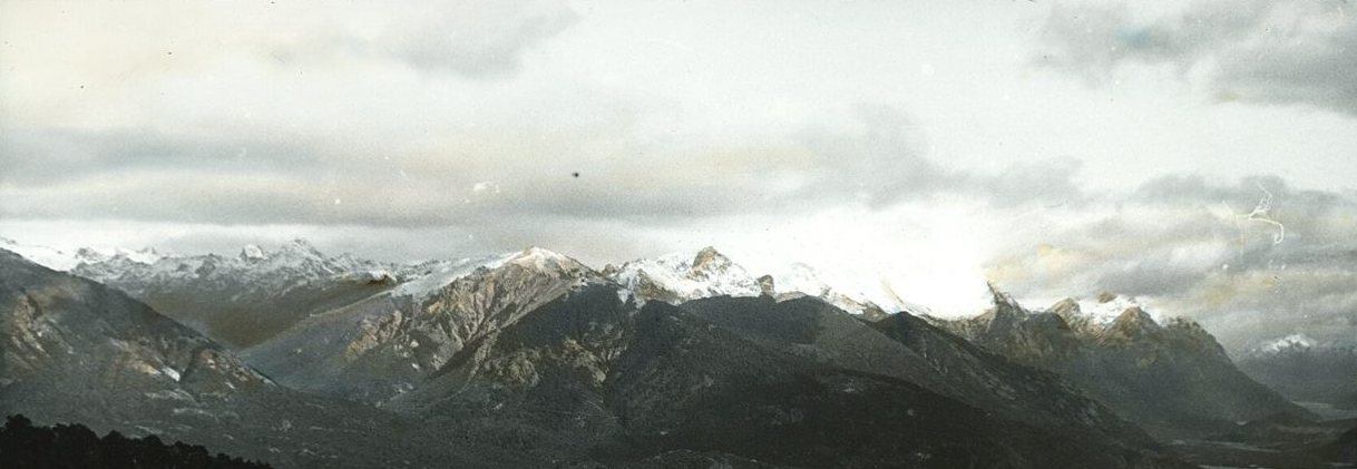
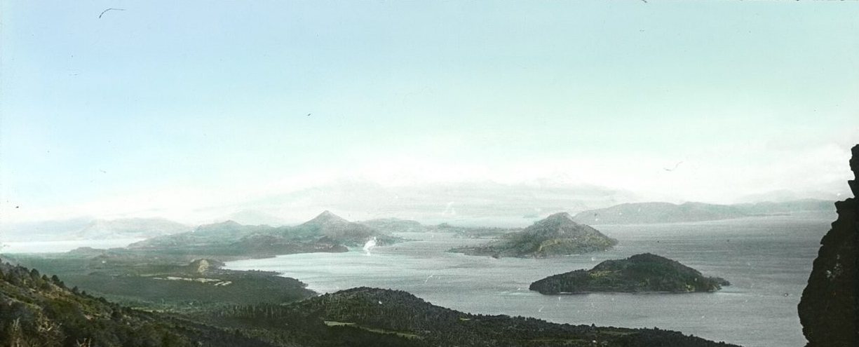
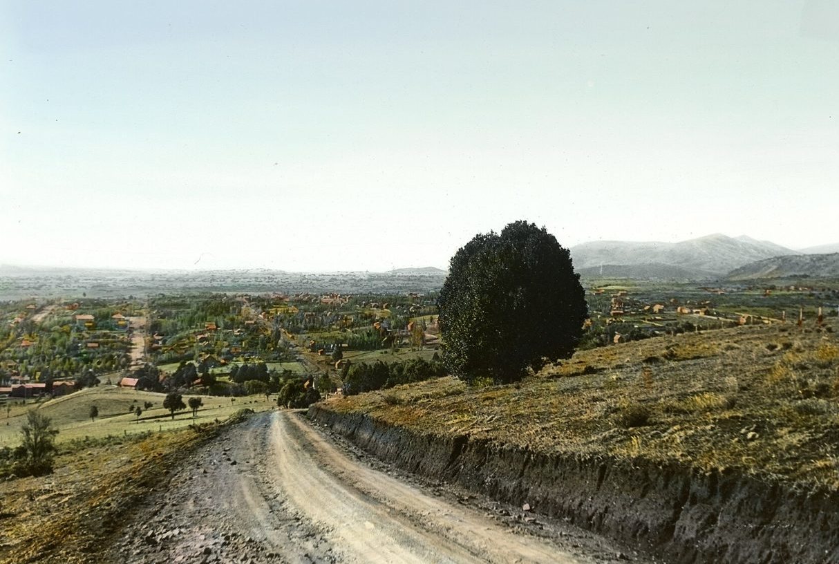
Cerro Otto in old photos
Sources and credits
Sources: barilocheturismo.gob.ar · www.telefericobariloche.com.ar · www.telefericobariloche.com.ar · www.telefericobariloche.com.ar · www.telefericobariloche.com.ar · www.telefericobariloche.com.ar · es.wikipedia.org · www.lanacion.com.ar · www.ambito.com · www.anbariloche.com.ar · www.rionegro.com.arPhotos: Foto: Brandon Antonio Segura Torres & Priscilla Vieto Bonilla · CC BY-SA 4.0 · Wikimedia Commons; Foto: Dario Alpern · CC BY-SA 4.0 · Wikimedia Commons; Foto: Bautista Da Costa-Castro · CC BY-SA 4.0 · Wikimedia Commons; Foto: Dario Alpern · CC BY-SA 4.0 · Wikimedia Commons; Foto: Gonce · CC BY-SA 4.0 · Wikimedia Commons; Foto: Ivan Oele · CC BY-SA 4.0 · Wikimedia Commons; Foto: Thomas Woodtli · CC BY-SA 2.0 · Wikimedia Commons; Foto: Gonce · CC BY-SA 4.0 · Wikimedia Commons; Foto: Discosm · CC BY-SA 4.0 · Wikimedia Commons; Foto: Gonce · CC BY-SA 4.0 · Wikimedia Commons