Outings and excursions · Cholila
Lake Cholila: the hidden lake beneath Chubut’s highest peaks
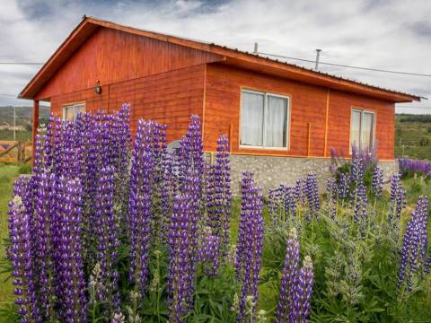
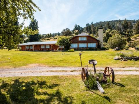
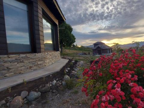
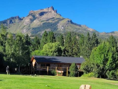
Photos: Pablo Gimenez · CC BY-SA 2.0 / watsilchum · CC BY-SA 3.0 / Carolaxis · CC BY-SA 4.0 (Wikimedia Commons)
A glacial lake with almost untouched shores, ringed by coihue forest and closed off by the province’s highest peaks, where the Carrileufú River begins.
Lake Cholila is of glacial origin and fills a narrow, isolated valley running west to east, about 18 kilometres west-northwest of the village of Cholila as the crow flies. It is ringed by forests of coihue and related southern beeches, and to the north and west it is closed off by the highest peaks in Chubut. It lies outside any national park, yet human settlement has barely changed its landscape: this is a lake you visit slowly, for the place itself.


Lake Cholila at a glance
Beneath the roof of Chubut
West of the lake stands Dos Picos, which at around 2,500 metres is listed as the highest summit in the province; beside it rise Anexo and Tres Picos, of similar height. Dos Picos was first climbed only on 4 January 1955, and few climbers attempt it even today: the approach is long, up the Tigre River valley, and the rock is poor.
The Tigre rises in glaciers on the Chilean border, at about 1,500 metres, flows some 30 kilometres east and enters the head of the lake. According to one version of the story, in 1905 Butch Cassidy and the Sundance Kid spent several months hiding from Pinkerton detectives in a cabin right there, where the Tigre meets the lake.
Almost untouched shores
Much of the lakeshore is private property, and the western shore is protected as a provincial park. The permanent population is tiny. Visitors come above all to fish: the lake and its rivers hold brook, brown and rainbow trout and landlocked salmon, along with native species such as the trucha criolla, a perch, and the puyen.
The Carrileufú River
The lake drains at its lower end into the Carrileufú, “river of green waters” in Mapudungun. Downstream it picks up the outflow of lakes Pellegrini and Lezana and, after about 20 kilometres, empties into Lake Rivadavia. It is a river for rafting, kayaking and canoeing, and it belongs to the Futaleufú basin, which reaches the Pacific through Lake Yelcho and the Yelcho River in Chile.
Tip: The only road to the lake is steep and poorly maintained: ask in Cholila about its condition before setting out, allow plenty of time and fill up the tank. Since much of the shore is private, respect fences and gates, and if you plan to fish, get the proper permit first.