Outings and excursions · Puerto Williams
Cerro Bandera and the Dientes de Navarino: trekking at the end of the world
Photos: Janitoalevic · CC BY-SA 4.0 / Mat Austro · CC BY 4.0 / Lluis Cabarrocas Ribas · CC BY 2.0 (Wikimedia Commons)
The climb to the hill with the Chilean flag takes a morning from Puerto Williams and is the gateway to one of the southernmost mountain circuits on the planet.
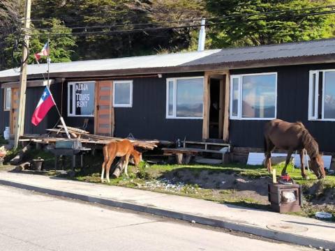
Cerro Bandera can be seen from any street in Puerto Williams, and on top flies the Chilean flag that gives it its name. Climbing it is the classic mountain walk on Navarino Island: the trail is well signposted and the round trip takes about three hours. At the top, at around 600 metres, the view opens over the Beagle Channel, the town and, on the other side, the spires of the Dientes de Navarino.
Cerro Bandera and the Dientes at a glance
The climb
The climb starts among forests of lenga, ñirre and Magellan’s beech, and along the way you see the marks of a neighbour that should not be there: the beaver. It was brought to Tierra del Fuego in the 1940s to be farmed for its fur, spread with no natural predators and today its dams and lodges change the course of streams and leave lake shores stripped of trees. Higher up the forest ends and the trail continues over scree and low grass, in a windy, almost alpine setting.
The Dientes de Navarino
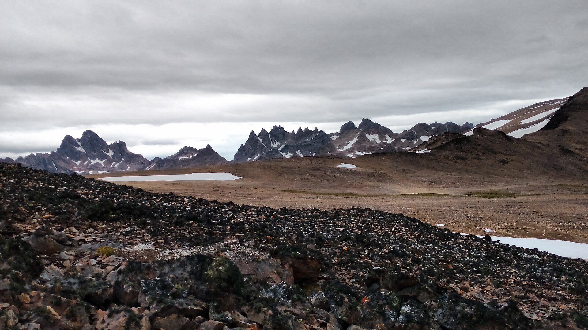
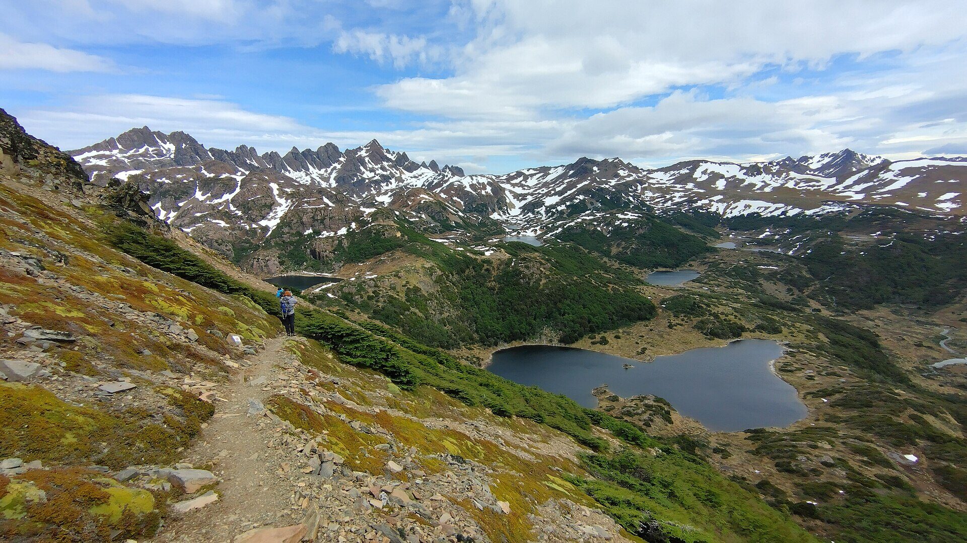
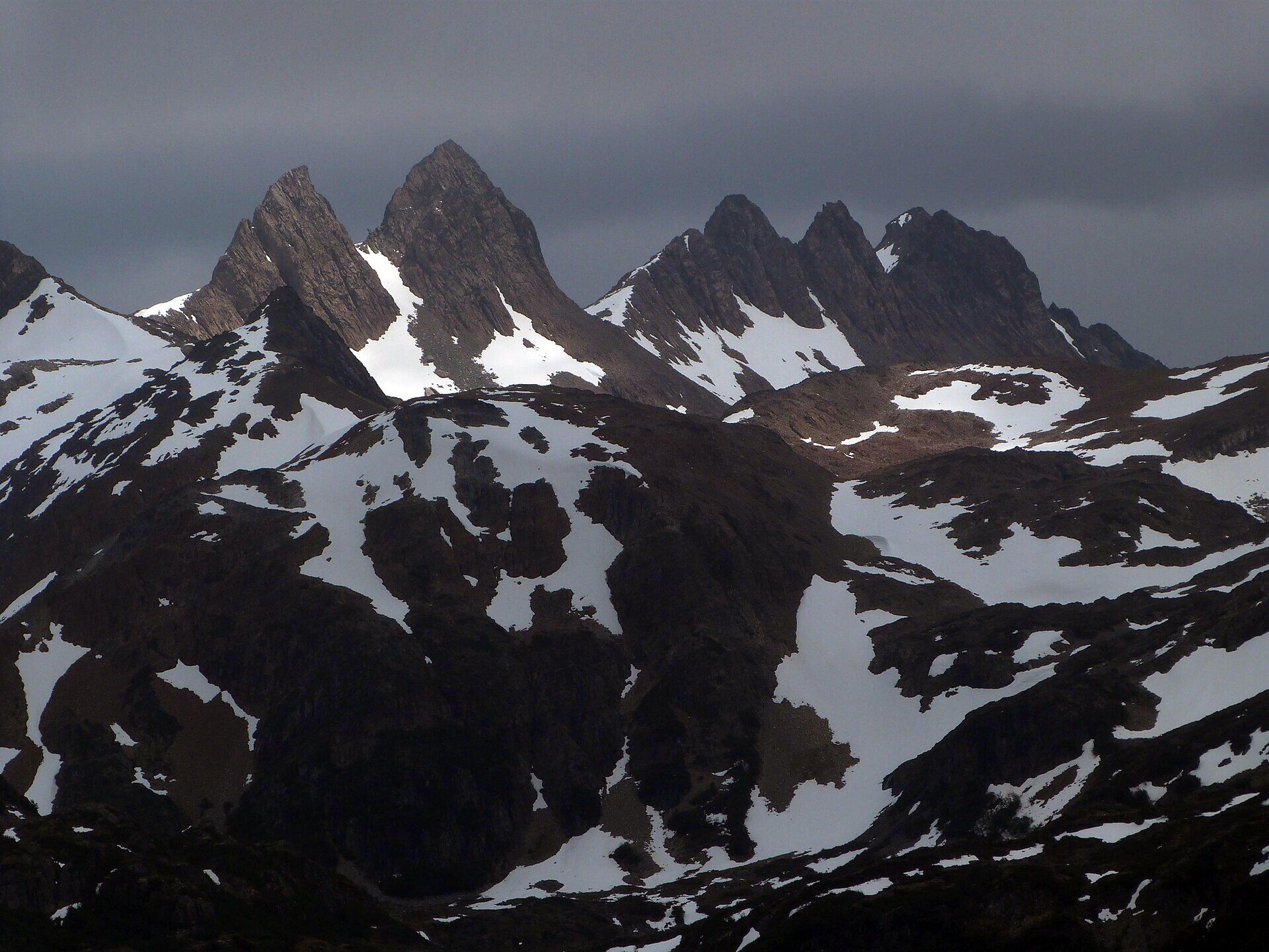
Cerro Bandera is also the first stop on the Dientes de Navarino circuit, the range of peaks that closes the horizon south of town. They are the highest mountains on the island, part of the Fuegian Andes, with a highest summit of 1,118 metres, and they owe their name (“Navarino’s Teeth”) to the row of rock pinnacles that look like a set of teeth. In the 19th century English nautical charts called them the Codrington Mountains.
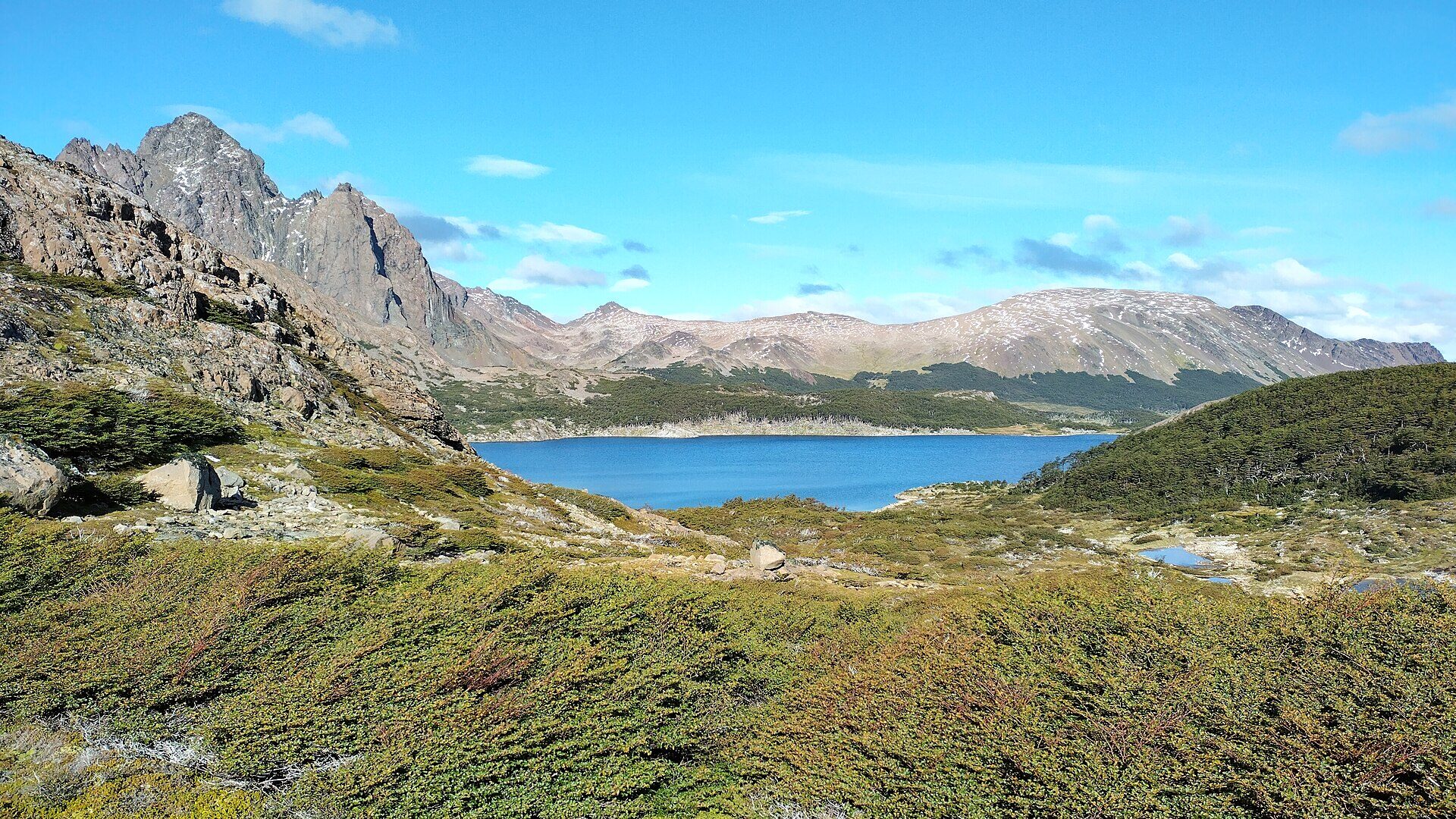
The full circuit loops around the massif in about 40 to 50 kilometres and is usually done in four or five days, crossing the Australia, Dientes, Ventarrón, Guerrico and Virginia passes, among glacial lakes such as Laguna del Salto, Laguna de los Dientes, Laguna Escondida and Laguna Martillo. It was laid out by the Australian writer and mountaineer Clem Lindenmayer, who described it in 1992 in a trekking guide to the Patagonian Andes; in 2001 Chile named Cerro Clem and the Lindenmayer peaks along the route in his honour. It is the second southernmost trek in the world, after the one to Lake Windhond on the same island.
Long before hikers, the Yaghan people roamed these mountains looking for stone for their tools and weapons: quarries and stone workshops have been found in the area. Today much of the trail lies within the Río Róbalo–Navarino Protected National Asset and the Cape Horn Biosphere Reserve, and it is managed by the Cabo de Hornos municipality together with Conaf rangers. In the forests you may see the Magellanic woodpecker, the thorn-tailed rayadito and the tufted tit-tyrant.
Tip: The weather changes very quickly even in summer: bring warm and waterproof layers. To hike the Dientes circuit you must first inform the Carabineros de Chile.