Outings and excursions · Puerto Cisnes
Magdalena Island: a boat trip to a national park off Puerto Cisnes
Photos: Lin linao · CC BY-SA 4.0 / Juan Carlos Santa Cruz G. · CC BY-SA 3.0 (Wikimedia Commons)
A rainforest island with no roads or trails, explored by boat from Puerto Cisnes in search of penguins, sea lions and dolphins.
From the Puerto Cisnes waterfront, across the Puyuhuapi Channel, you can see a large, forest-covered island: Magdalena Island, almost all of it protected as a national park. It has no roads and no official trails, so the way to get to know it is by boat, cruising its shores in search of penguins, sea lions, Commerson's dolphins and southern river otters.


Isla Magdalena National Park at a glance
Puerto Cisnes, the starting point
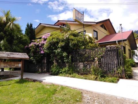
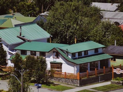
Puerto Cisnes sits on a small bay of the Puyuhuapi Channel, at the mouth of the Cisnes River, 196 kilometres from Coyhaique. Getting there means a detour of about 30 kilometres off the Carretera Austral. Its economy revolves around salmon farming, but in recent years it has added guesthouses, restaurants and adventure tour operators, and it is where private boat trips to the island are arranged.
An island of forest and rain
The park was created in 1983 and can only be reached by sea. Some 4,000 millimetres of rain fall on the island each year, and it shows in the evergreen forest: Chiloé coigüe, canelo, tepa, tineo, mañío, luma and Guaitecas cypress, with an understorey of nalca, ferns and mosses. At its centre rises Mentolat volcano, about 1,600 metres high, visible from the water.
The best way to explore the park is along its coastline. According to Conaf, penguins are its main attraction, and the shores and islets are home to South American sea lions and fur seals, southern river otters, marine otters and coypu; birds include petrels, cormorants, ducks and gulls. Commerson's dolphins are also often seen in the channel.
Puerto Gaviota
At the southern tip of the island, outside the protected area, lies Puerto Gaviota: a fishing cove of about a hundred houses, with a curving wooden boardwalk looking out to San Andrés Island and the Moraleda Channel. It was born in the late 1980s, during the hake fishing boom, and was officially recognised as a locality in 1997. Basic supplies are available there, and a ferry route links it with Puerto Cisnes.
Tip: Bring a waterproof jacket and trousers even in summer. Every boat needs clearance from the Harbour Master before setting out, so go with a local operator from Puerto Cisnes. Do not feed or disturb the wildlife, and remember that drones are not allowed in the park.