Outings and excursions · Caleta Tortel
The walkways of Caleta Tortel: from the village entrance to Playa Ancha
Photos: Javier Vieras · CC BY 2.0 / Manuel Cañón P. · CC BY-SA 3.0 / Manxuc · CC BY-SA 4.0 (Wikimedia Commons)
A walk along Tortel's heritage route, past viewpoints, squares and cypress jetties, to the mouth of the Baker River.
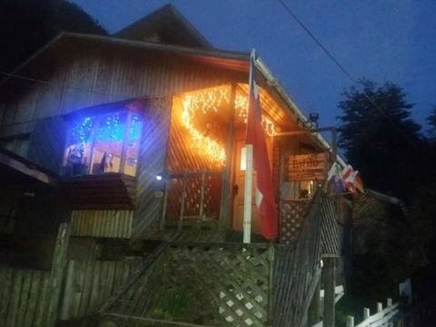
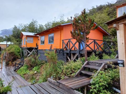
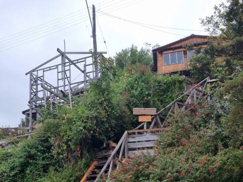
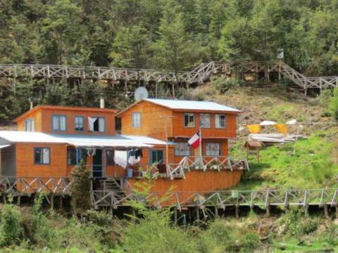
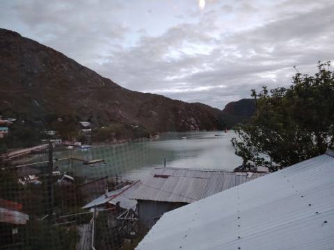
There are no streets in Caleta Tortel: the village is explored on foot along walkways, stairs and jetties made of Guaitecas cypress, more than six kilometres of timber lining the mouth of the Baker, Chile's mightiest river. Following those walkways from end to end, from the entrance of the village to Playa Ancha, is the best way to understand life in this corner of southern Aysén.


The Caleta Tortel walkways at a glance
A village held together by wood
Caleta Tortel was born in 1955, when the Chilean Navy set up a lookout and signal post here, and it grew on the Guaitecas cypress timber trade. Families built their homes in clusters along the cove and gradually linked them with plank paths, bridges and stairs: the origin of today's walkways. In 2001 an 80-metre strip of the cove, with its jetties, walkways, houses and hillside vegetation, was declared a Typical Zone. Only in 2003 did a road connect it to the Carretera Austral.
From the entrance to Playa Ancha
The heritage route proposed by Sernatur starts at the airfield and first crosses a peat wetland where the Baker meets the influence of the Pacific. The walkways begin at the entrance roundabout. The first stop is the El Faro viewpoint; next come the sculpture of Father Antonio Ronchi, an Italian priest remembered for his social work in Aysén, the main square, the historic jetty and Plaza Kawésqar, honouring the canoe people who travelled these channels.
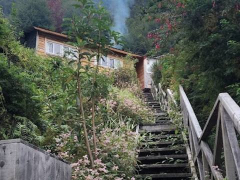
Further on are the historic sawmill and an open-air museum. If you have the energy, the La Antena viewpoint means climbing more than 200 steps. The path continues past Plaza Orompello, surrounded by wooden sculptures, and the La Puntilla jetty, ending at Playa Ancha by the mouth of the Baker. From the car parks to the beach is about half an hour, not counting stops.
Cerro Vigía and the Isle of the Dead
For a second day there is the Cerro Vigía circuit, 2.65 kilometres and about three hours, which starts with a staircase at the roundabout and passes the Cascada Pisagua, El Cóndor, El Ciprés (the highest point), Río Baker and Fiordo viewpoints before coming down at El Junquillo. And about 30 minutes by boat through the Baker delta lies the Isla de los Muertos, with an old cemetery of wooden crosses from 1906: they remember the Chiloé workers of the Compañía Explotadora del Baker who died that year, probably of hunger and scurvy.
Tip: Bring waterproof clothing and shoes with good grip on wet wood. If you want to visit the Isla de los Muertos, arrange the boat in advance and according to the weather.