Outings and excursions · Puerto Guadal
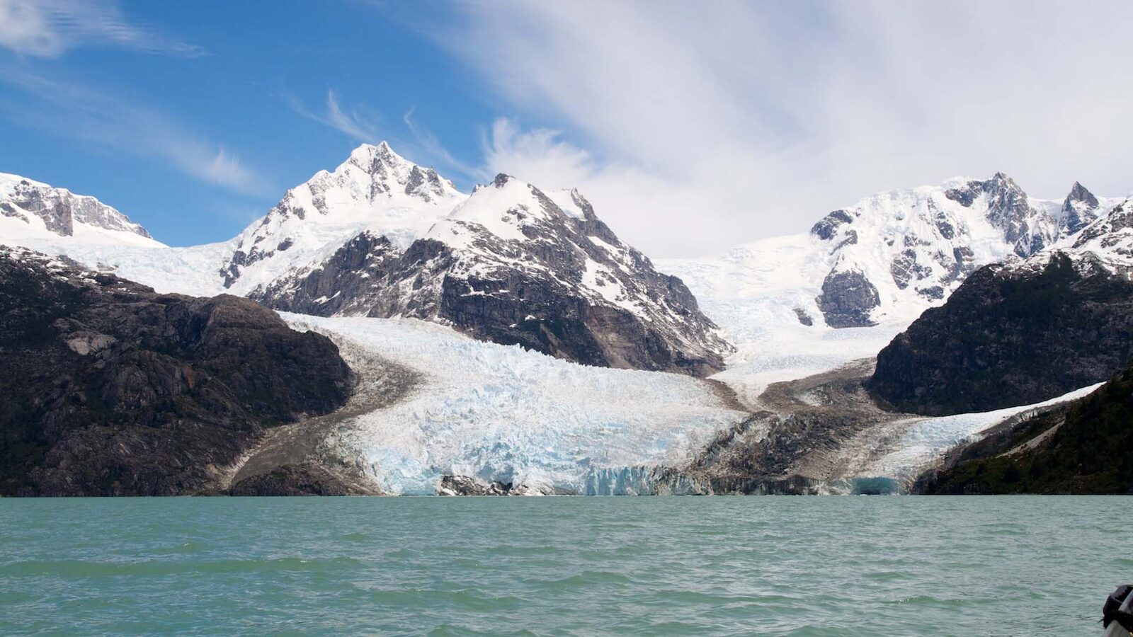
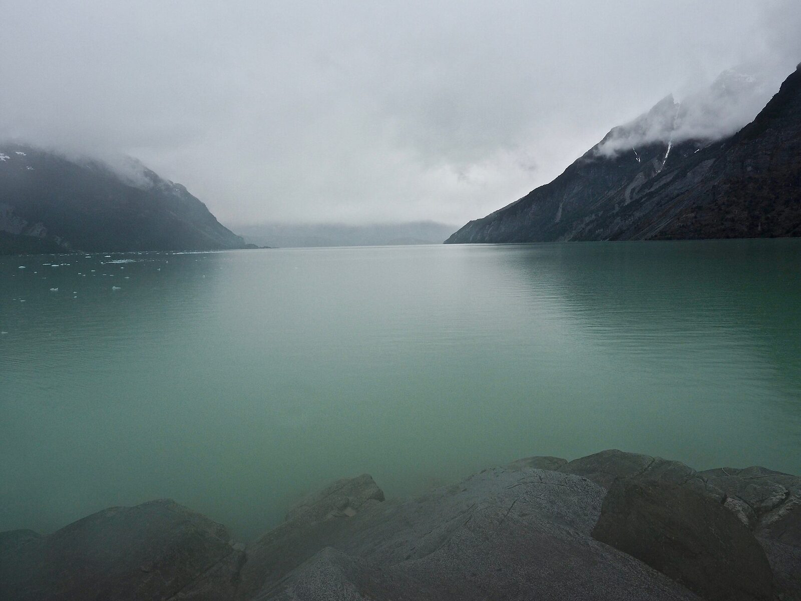
Leones Valley: a hike to the turquoise lake and Leones Glacier
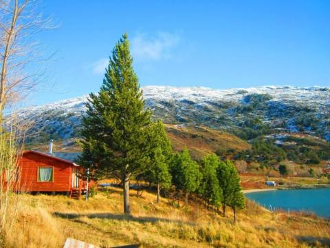
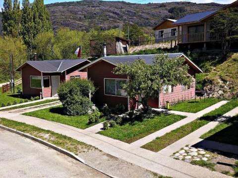
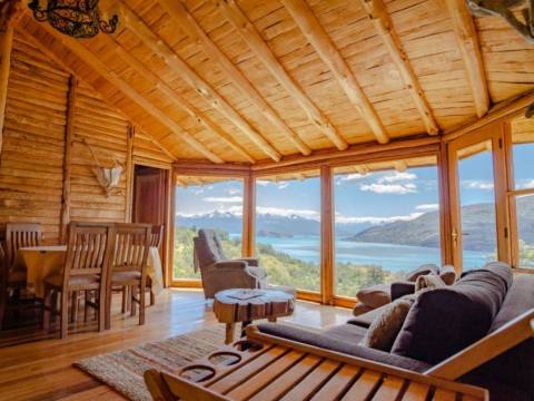
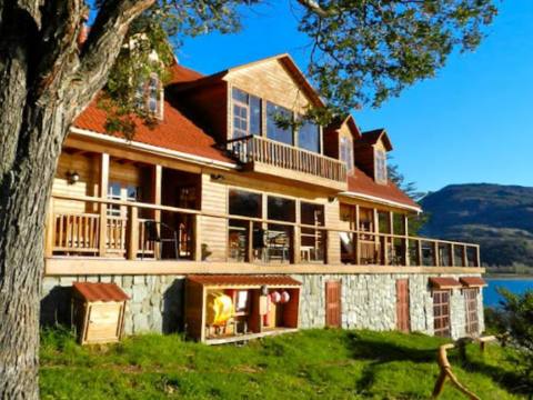
Photos: Christoph Strässler · CC BY-SA 2.0 / LBM1948 · CC BY-SA 4.0 / Wescottm · CC BY 4.0 / LBM1948 · CC BY-SA 4.0 (Wikimedia Commons)
From Puerto Guadal, an uninhabited valley that climbs along the Leones River to a glacial lake where a tongue of the Northern Patagonian Ice Field ends.
Puerto Guadal is a village of about 450 people on Lake General Carrera, on the bay that gives it its name, and its mild climate has earned it the nickname “the pearl of the lake”. Some 34 kilometres north along the Carretera Austral, on the way to Puerto Río Tranquilo, the Leones River comes down from the mountains and flows into General Carrera. Following its valley upstream is one of the finest outings in the area: it ends at a turquoise lake fed by Leones Glacier, which flows down from the Northern Patagonian Ice Field.


Leones Valley at a glance
The valley
Just past the bridge over the Leones River, a local dirt road of about 12 kilometres heads inland. It is rough in places and crosses private land with several gates; depending on conditions you may need a high-clearance or 4x4 vehicle. The trail starts where the road ends. It is clear and easy to follow along the valley floor: first grassland and forest, then the riverbank and a few short climbs, and finally a stony plain with low vegetation that leads to the eastern shore of the lake. There is water almost all the way. The valley can also be done on horseback, combining a vehicle and a ride.
The lake and the glacier
Lake Leones is glacial in origin and lies on the eastern edge of the Northern Patagonian Ice Field. It is fed by Leones Glacier, an outlet glacier of about 60 km², and the river of the same name flows out of it. From the shore you can see several peaks of the ice field and a chain of mountains with waterfalls and glaciers. The ice only comes into view on the last stretch of the hike, and from the eastern shore it is practically impossible to reach the glacier front on foot: to get closer, operators cross the lake by boat. Leones Glacier is also one of the gateways for expeditions that cross the ice field towards Laguna San Rafael.
In summer there are calafate berries along the way, and with luck you may spot huemul deer, foxes, condors or the chucao, a small forest bird.
Tip: The road and the trail cross private land: leave gates as you found them and respect the owners’ signs. The easiest way to do this outing is with an operator from Puerto Guadal or Puerto Río Tranquilo, who will also arrange the boat across the lake. Before you go, check with CONAF on access to the lake, and bring hiking boots, a windbreaker and warm layers, because the weather changes very quickly.