Outings and excursions · Cerro Castillo
Cerro Castillo Lagoon: the trek to the foot of the towers
Photos: LissaBix · CC BY-SA 4.0 / Romina Uribe · CC BY-SA 4.0 / Natalia Reyes Escobar · CC BY-SA 4.0 / Fotogalilea · CC BY-SA 4.0 (Wikimedia Commons)
A full-day climb from Villa Cerro Castillo to a turquoise lagoon set beneath the hanging glaciers of the peak that gives the national park its name.
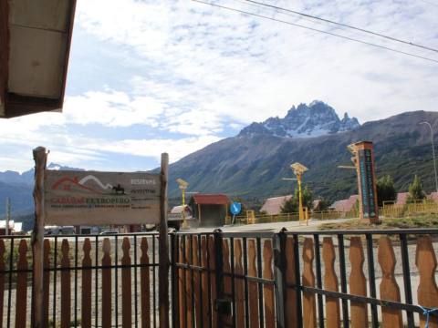
Villa Cerro Castillo is a small town in the Río Ibáñez district, on the Carretera Austral, that grew up around sheep and cattle ranching and is now the base for visiting Cerro Castillo National Park. From its streets you can see the spires of the peak that gives it its name, more than 2,300 metres high and shaped like a castle. The park’s classic hike climbs to its foot: a full day of trekking to reach a turquoise lagoon enclosed by rock walls and hanging glaciers.


Cerro Castillo Lagoon at a glance
The climb
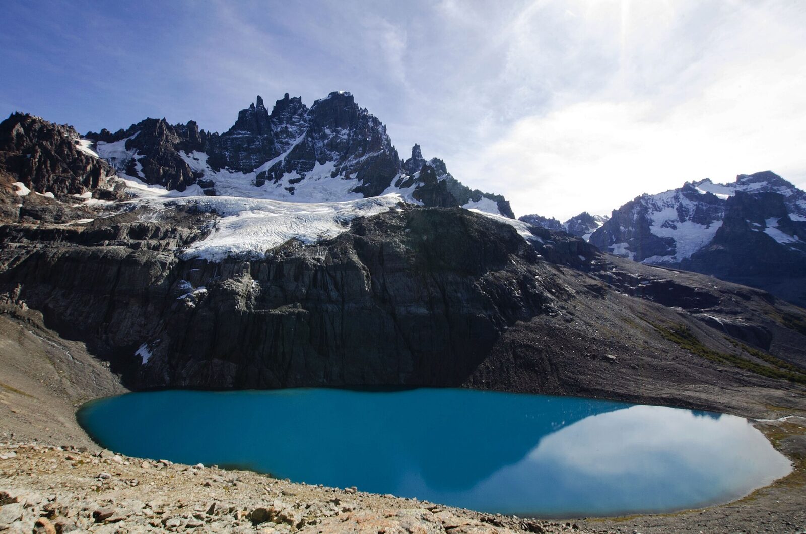
The trail to the lagoon viewpoint is reached along the Estero El Bosque local road. It is about 14 kilometres round trip, roughly 6.5 of them uphill, and is done in a day. The climb starts in lenga forest and continues through evergreen forest with Magellanic coigüe, until it comes out onto the high-altitude steppe. At the top the lagoon appears all at once, a deep turquoise, with the mountain’s wall and its hanging glaciers right in front. There are no official campsites along the route, only private ones near the trailhead. If you prefer company, local operators organise the hike as a day trip.
The park and the huemul
Cerro Castillo was protected in 1970 as a forest reserve and became a national park in 2017, under the agreement between the Chilean state and Tompkins Conservation that created the Route of Parks of Patagonia. It covers 143,502 hectares, is managed by CONAF and is crossed by the Carretera Austral. It is one of the most important refuges of the huemul, an endangered native deer, and it is not unusual to see one by the roadside, so drive slowly. Guanacos, pumas, pudús and foxes also live in the park, while Andean condors and black-chested buzzard-eagles patrol the sky.
More to see
For something shorter there is the Laguna Chiguay trail, about 2.5 kilometres long and universally accessible; this is also where you pay the entrance fee, pick up a map and register. At the other extreme, the Las Horquetas traverse covers 53 kilometres over several days, with designated camping areas. And south of the village lies the Paredón de las Manos, a rock wall about 25 metres high with cave paintings some 5,000 years old, attributed to the Tehuelche people.
Tip: You must register with the park administration before starting any trail, and in winter going with an authorised guide is compulsory. There is no mobile signal inside the park, so download an offline map beforehand. Bring warm and waterproof layers, as it can snow and blow hard even in summer, and remember that fires and drones are banned. There is no petrol station in Cerro Castillo: fill up in Coyhaique.