Outings and excursions · Puerto Tranquilo
Exploradores Valley: from Puerto Río Tranquilo to the glacier and the fjords
Photos: Natalia Reyes Escobar · CC BY-SA 4.0 / Ivotoledo45 · CC BY 4.0 / Mauro Pesce · CC BY-SA 4.0 / Felipe Cancino · CC BY-SA 2.0 (Wikimedia Commons)
A gravel road that leaves Lake General Carrera heading west, through rainforest, waterfalls and hanging glaciers, all the way to Exploradores Bay at the foot of the Northern Patagonian Ice Field.
Puerto Río Tranquilo is a small village on the western shore of Lake General Carrera, about 220 kilometres south of Coyhaique along the Carretera Austral. Many visitors come for the Marble Caves, but the village has another way out that looks in the opposite direction: a gravel road that heads west into the Exploradores Valley, past forests, rivers, dozens of waterfalls, hanging glaciers and snowy peaks, until it reaches the inland sea of the fjords.


Exploradores Valley at a glance
The road
The valley road was built in 2001 to link Puerto Río Tranquilo with Exploradores Bay, and it is the overland way into Laguna San Rafael National Park. It runs for about 77 kilometres of gravel and takes around two hours each way, although with stops the outing fills the whole day. As you head west, the lake falls behind and the landscape turns into a rainforest of coigüe, mañío and Guaitecas cypress: this is one of the rainiest parts of the country, with 3,000 to 5,000 millimetres of rain a year, which is why the slopes are streaked with waterfalls.
Exploradores Glacier
The star of the valley is Exploradores Glacier, which flows down the north-eastern slope of Mount San Valentín, the highest peak in Chilean Patagonia, and is part of the Northern Patagonian Ice Field. For years it was explored on foot with guides, but in October 2023 a huge block of ice broke off and CONAF suspended the hikes on the glacier. Walking on the ice is no longer possible, but the valley itself, with its waterfalls, hanging glaciers and San Valentín appearing on clear days, is reason enough for the trip.
Exploradores Bay and Laguna San Rafael
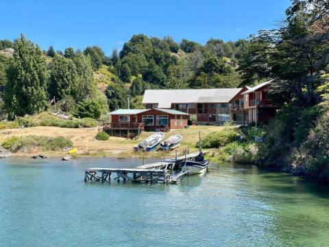
The road ends at Exploradores Bay, where the Exploradores River meets the Pacific channels. Boat trips to Laguna San Rafael and its glacier leave from the pier: about two and a half hours of sailing each way, so the excursion takes the whole day; it is best arranged in advance from Puerto Río Tranquilo, spending that night there. The park, created in 1967, covers more than 1.7 million hectares, is a Biosphere Reserve, and its forests are home to the huemul deer, the puma and the kodkod (guiña).
Tip: Fill up in Puerto Río Tranquilo before setting off, and if you are travelling in a motorhome or a large vehicle, bear in mind that near kilometre 75 there is a very narrow bridge it cannot cross. Before you go, ask CONAF which viewpoints and trails in the area are open.