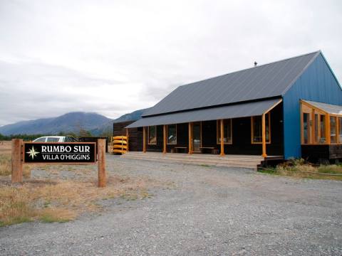
Outings and excursions · Villa O`Higgins
Boat trip to the O'Higgins Glacier: ice at the end of the Carretera Austral
Photos: Roberto Araya Barckhahn · CC BY-SA 3.0 / Jason Hollinger · CC BY 2.0 / Chrislorenz9 · CC BY-SA 4.0 (Wikimedia Commons)
From Villa O'Higgins, a full day on the deepest lake in the Americas to the ice wall of one of the great glaciers of the Southern Ice Field.
Villa O'Higgins marks the end of the Carretera Austral: the village, founded in 1966, sits where the Mayer River flows into Lake O'Higgins, about 220 kilometres south of Cochrane. This is the starting point of the area's most sought-after excursion, a full-day boat trip across the lake to the O'Higgins Glacier, also known as Ventisquero Grande, one of the largest ice masses in Patagonia and a gateway to the Southern Patagonian Ice Field.


The O'Higgins Glacier at a glance
A lake shared by two countries
Lake O'Higgins covers about 1,013 km² at 255 metres above sea level. Just over half lies in Chile; the rest belongs to the Argentine province of Santa Cruz, where it is called Lake San Martín. It has more than eight arms reaching in between the mountains, and in the O'Higgins Glacier arm a 2003 survey measured a depth of 836 metres, making it the deepest lake in the Americas. The Aonikenk had a camp on its southern shore called Kelt Aike: kelt means “iceberg”.
The boat trip
Boats leave from Bahía Bahamondez, about 7 kilometres south of the village, and cross the lake on a full-day outing that visits the O'Higgins and Chico glaciers. The wind is in charge: it blows hard across the whole lake, can make sailing dangerous and, in bad weather, trips are cancelled.
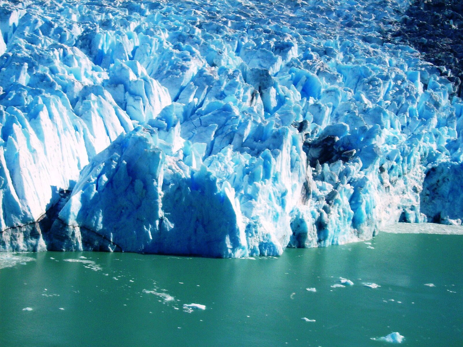
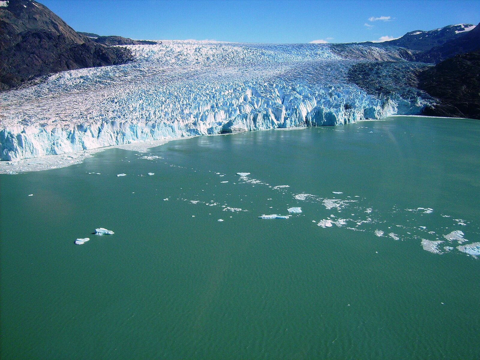
The glacier rises on Lautaro volcano, in the heart of the Southern Ice Field, inside Bernardo O'Higgins National Park. It runs for 45 kilometres and covers some 820 km² of ice before reaching the lake, where it ends in a wall more than 80 metres above the water, calving icebergs that the wind pushes along the lake's arms.
Candelario Mancilla and the crossing to El Chaltén
On the southern shore of the lake lies Candelario Mancilla, a tiny settlement with a customs post. It is the compulsory stop for those making the Patagonian Andes crossing to El Chaltén in Argentina: about 130 kilometres combining boat, a hike past Laguna del Desierto and a bus ride, with no road for cars.
Tip: Bring thermal and waterproof clothing even if the day starts clear, and leave a few spare days in your trip in case the wind forces the boat to wait. If you have a free afternoon, the La Bandera trail climbs Cerro Santiago, with a panoramic view of the village.