Outings and excursions · Lago Ranco
Lago Ranco on foot: the waterfront, the pier and the station at the end of the line
Photos: Cris.tbl · CC BY 4.0 / Jackripper11 · CC BY-SA 4.0 / Carlos Figueroa Rojas · CC BY-SA 4.0 (Wikimedia Commons)
A walk along the southern shore of Lake Ranco to enjoy the beach and the pier and discover the town that grew up at the end of the branch line from La Unión.
The town of Lago Ranco looks out over the lake from its southern shore, and the lake’s name comes from the Mapudungun rew-ko, “water with waves”. It was not born as a resort: it was born at the end of a railway line. When the branch line from La Unión reached the shore, the settlement was first called Punta de Rieles (“end of the rails”), then Tringlo and Pérez Rosales, and in 1941 it became the seat of the new commune. This outing is an easy walk along the shore to read that story: the waterfront and its beach, the pier and what is left of the terminal station.


Lago Ranco at a glance
The waterfront and the beach
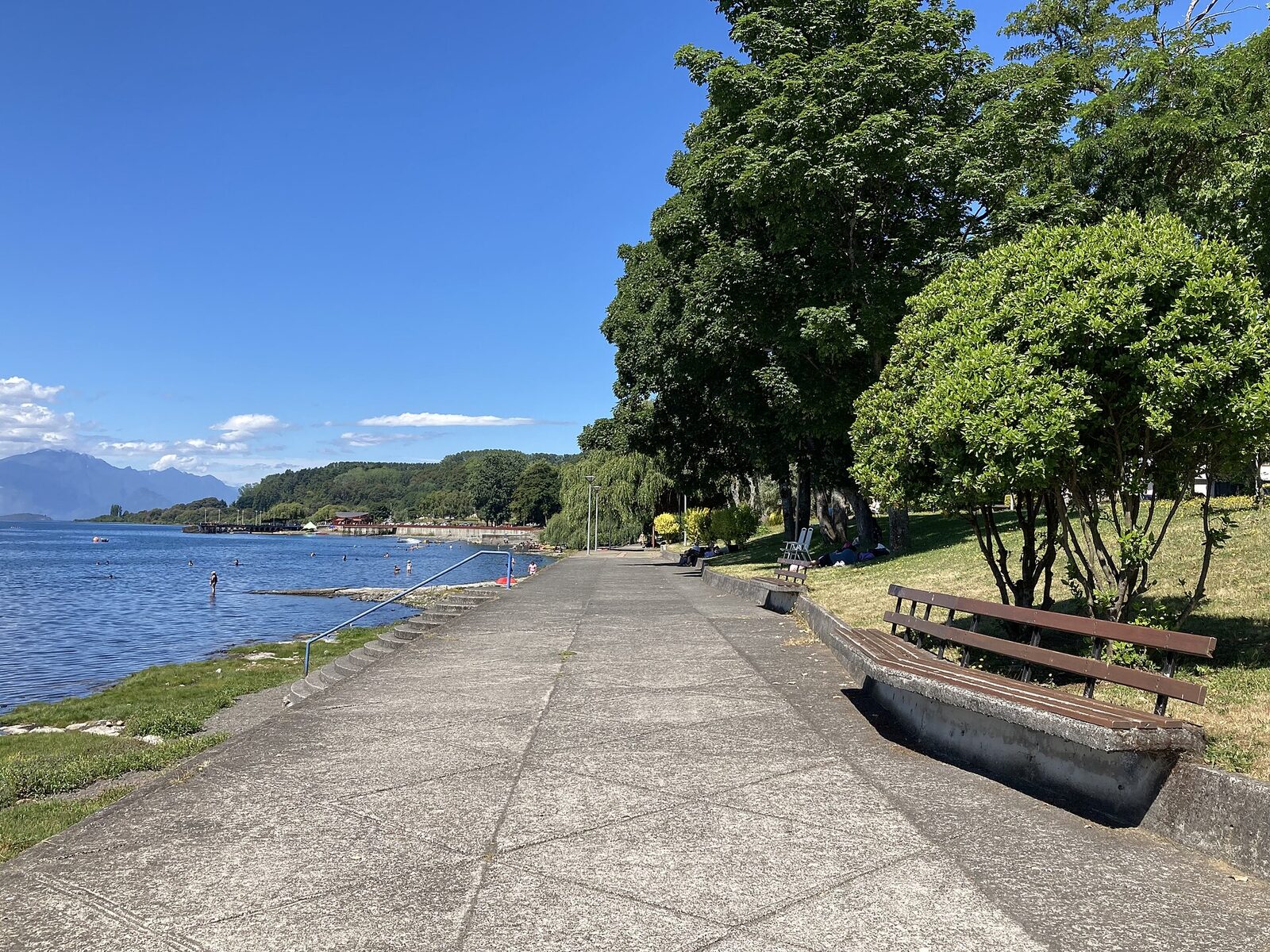
The town’s beaches are its main draw. By the beaches there is a craft fair and a food court, and in summer a water park opens for locals and visitors. Lake Ranco is one of the largest lakes in Chile and some 30 Indigenous communities live along its shores; sport fishing is one of its most popular activities.
The station at the end of the line
The Cocule–Lago Ranco branch line left the main north–south railway south of La Unión, passed through Río Bueno and ended here, at kilometre 66.4. Work began in 1929 and the section to Lago Ranco was handed over in November 1937. The station was the transfer point for timber and farm produce from the whole basin, and it connected with the lake steamers: one of its sidings ran down to the pier area. It had a passenger building, a warehouse, staff housing, a coal store, water tanks and a turntable for the locomotives.
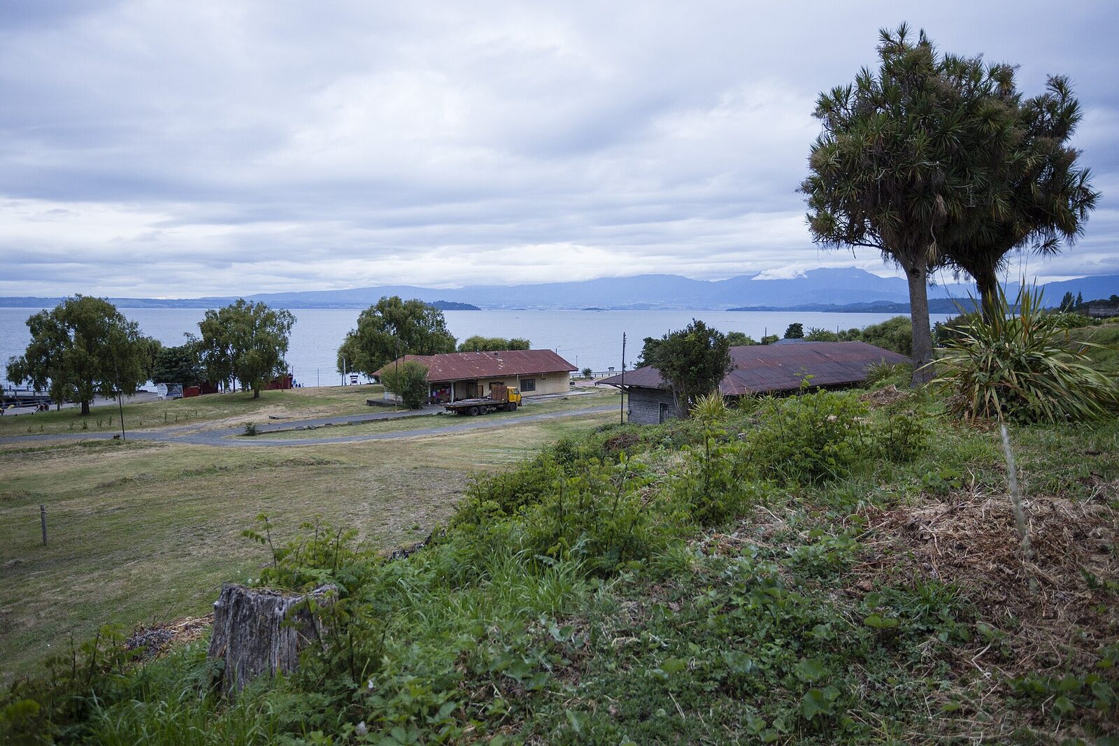
The last passenger train ran on 6 March 1983 and freight ended in September 1990; the tracks were later removed. The grounds were split among different owners, but the station building, the switchman’s house, the warehouse, a railway house and the pier are still standing. The switchman’s house is listed in the heritage studies for Lago Ranco’s urban plan as a building of historic interest.
When the lake was the road
Around 1947 lake navigation was at its peak. Steamers such as the Laja, the Saturno, the Osorno, the Lilí and the Valdivia linked Puerto Rettig and Ranco with Riñinahue, Llifén, Futrono, Huapi Island and Puerto Nuevo, carrying settlers and goods; several were wrecked by the force of the puelche negro wind.
Tip: It rains all year round in Lago Ranco, so bring a waterproof jacket even if you set out in sunshine. In spring and summer a persistent cloud cover known as the “sur negro” is common and tends to clear around midday. The station grounds are now private property; view them from the street.