Outings and excursions · Villa Lago Meliquina
Lake Meliquina: kayaking, kitesurfing, fishing and the Chucao trail
Photos: Pedro Iriso · CC BY-SA 3.0 / Alberto Elizalde Leal · CC BY-SA 4.0 / Gustavo Muñoz Clos · CC BY-SA 3.0 (Wikimedia Commons)
A glacial lake between lenga and coihue forests, with wind for kiting, calm water for paddling and a river that rises at the village and ends up feeding the Limay.
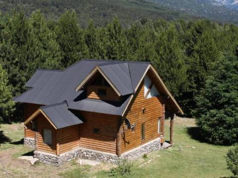
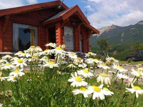
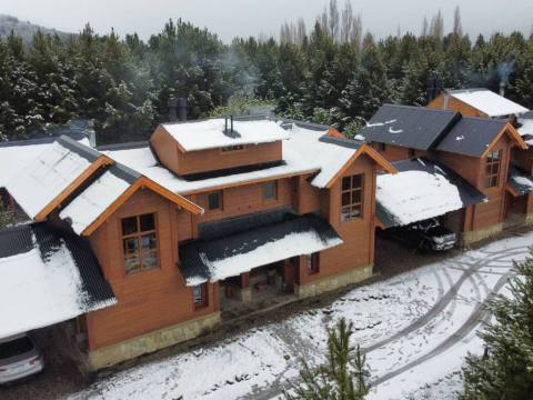
Meliquina is a Mapuche word meaning “four corners”. It is the name of this glacial lake, which fills a wide valley running perpendicular to the Andes, between lenga and coihue forests, about 40 kilometres from San Martín de los Andes. Its southern shore is protected by Lanín National Park, and on the eastern shore, right where the lake drains, the village that bears its name has grown.


Lake Meliquina at a glance
Getting there
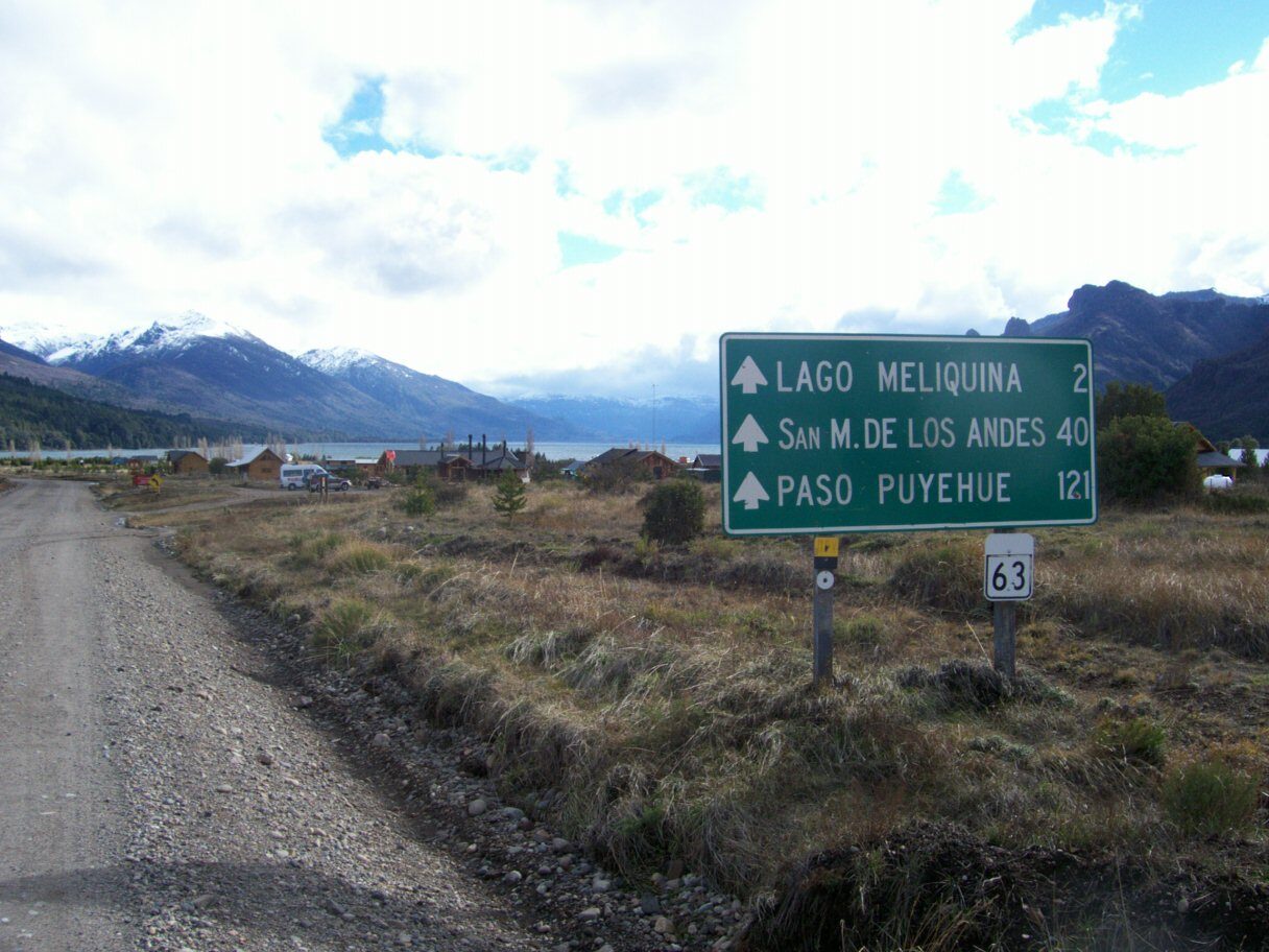
From San Martín, take Route 40 to the Gendarmería post by the Hermoso River and turn onto provincial Route 63. The last 14 kilometres are gravel mountain road; it is kept passable, but take it easy: the speed limit is 40 km/h. The same road continues on to the Córdoba Pass and Bariloche.
On the water
The wind that funnels down the valley has made Meliquina a favourite spot for kitesurfing and windsurfing. Calm days, on the other hand, are for stand-up paddle and kayaking: there are rentals on the lakeshore and some lodgings have kayaks for their guests. Bikes can also be rented on the beach to ride the village’s dirt streets and trails.
The Meliquina River rises from the lake, a few metres from the village, and you can paddle it or walk along its banks. Downstream it meets the Filo Hua Hum to form the Caleufú, the main tributary of the Collón Curá, which in turn flows into the Limay. The lake, rivers and streams are good for fly fishing, with rainbow, brown and brook trout; you need a National Parks fishing permit.
The Chucao trail
On Route 63, opposite the fire station, is the village’s tourist information office. Next to it starts the Chucao trail, an educational walk of about 20 minutes that leads down to the stream among native plants, built by residents with the help of Lanín National Park. The village also has three viewpoints to walk to and several mountain trekking routes nearby.
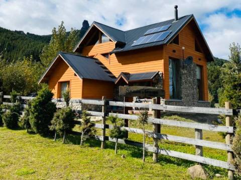
Meliquina is still a small, quiet village: there is no power grid, and homes run on solar and wind energy. That calm, more than any single attraction, is what people come here for.
Tip: If you plan to kite or paddle, check the wind before heading out: the same valley that brings gusts for kitesurfing can make kayaking tricky. The information office has free wifi and a QR map of the village’s services.