Outings and excursions · Puerto Varas
Lake Chapo and Calbuco Volcano
Photos: MattWithX1 · CC BY-SA 4.0 / MattWithX1 · CC BY-SA 4.0 / MattWithX1 · CC BY-SA 4.0 (Wikimedia Commons)
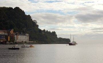
Along the Correntoso road, a lake with ever-changing shores at the foot of Calbuco and the trails of the Llanquihue National Reserve.
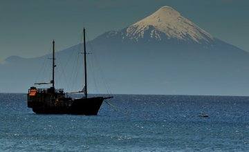
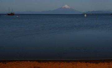
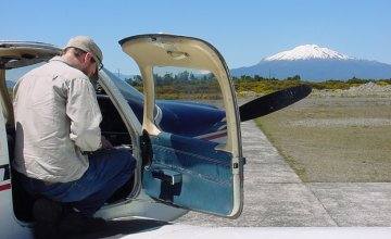
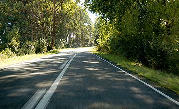
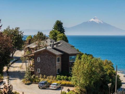
From Puerto Varas the road drops toward Puerto Montt and the Carretera Austral, and at the Chamiza bridge it turns onto route V-65 toward Correntoso, a small settlement at kilometer 19. Beyond it, farmland gives way to forest and Calbuco takes over the view: the roughly 2,000-meter volcano has its northern slope in Puerto Varas and its southern slope in Puerto Montt.

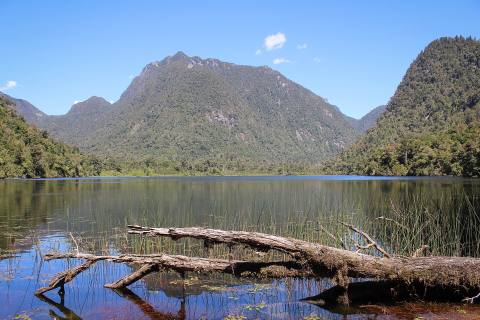
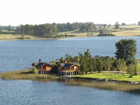
About 8 kilometers east of Correntoso lies Lake Chapo, 240 meters above sea level. It is some 17 kilometers long, up to 5 wide, and close to 300 meters deep in places. Its water feeds the Canutillar hydroelectric plant, so the level rises and falls by several meters: when it is low, the shore reveals bleached stumps and trees standing in the water, an unusual sight against hills covered in rainforest.

North of the lake stretches the Llanquihue National Reserve, created in 1912 and managed by CONAF, with nearly 34,000 hectares of evergreen forest where coihue, ulmo, tepa, mañío and alerce grow. The way in is through the Río Blanco sector: you leave the car by the Calbuco lahar, the trail of debris left by the volcano's flows, and walk about 2 kilometers along a marked path to the ranger station, where you need to register.

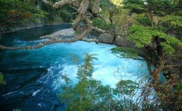
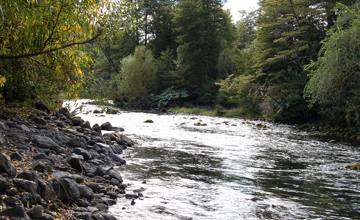
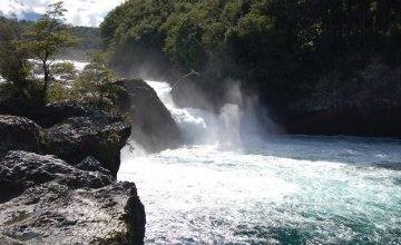
From there, trails lead to the Río Blanco viewpoint, to the viewpoint over the Río Blanco valley and Lake Chapo, and to the Río Blanco waterfall. Higher up, the path climbs to a wooden refuge at around 1,200 meters on the volcano's flanks; the summit has been closed since the April 2015 eruption, and the section beyond the river crossing closes when the water runs high.
Back at the shore, the lake is a good place to linger. If you bring your own kayak, keep in mind the water is cold: around 9 °C in winter and 18 °C in summer. With luck, you may spot a pudú in the forest or a condor gliding overhead.
- Tour type: Scenic and trekking
- Difficulty level: Easy (viewpoints and waterfall); moderate (hike to the refuge)
- Tip: Last entry to the reserve is at 4 p.m.; register at the ranger station, say when you expect to be back and don't hike alone. Fires and pets are not allowed.