Outings and excursions · San Carlos de Bariloche
Lake Gutiérrez: beaches, forest and a waterfall 15 kilometers from town
Photos: CarlosJBJ · CC BY-SA 4.0 / McKay Savage from London, UK · CC BY 2.0 / Luca Ezequiel Rodríguez · CC BY-SA 4.0 / Alexrebolledo · CC BY-SA 3.0 (Wikimedia Commons)
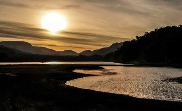
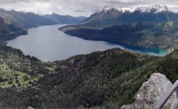
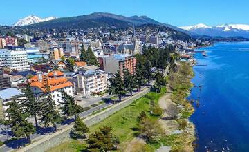
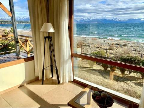
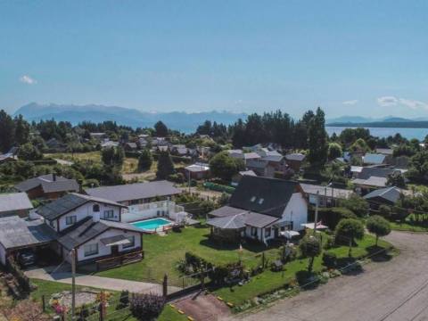
Fifteen kilometers from downtown, in a valley enclosed by Cerro Otto, Cerro Catedral and Cerro Ventana, Lake Gutiérrez offers beaches, campgrounds, short trails and a waterfall.
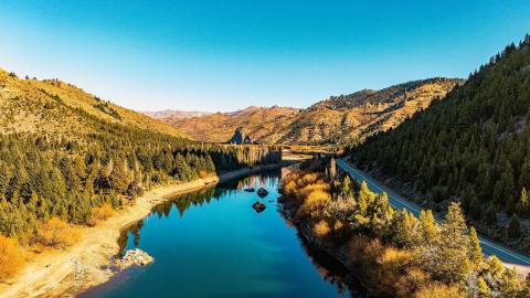
Some lakes you visit and some you enjoy. Lake Gutiérrez belongs to the second group: it is just a few kilometers from Bariloche, on Route 40, and has that mix of nearby mountains and a friendly shoreline that makes it a full-day destination.
To find your way around, it helps to think of it shore by shore. At the northern end is Villa Los Coihues: take Route 40 about 15 kilometers from downtown, turn right and cross an old wooden bridge to reach a beach with lifeguards. From the western shore, a walk of about two kilometers along the water leads to the park rangers' station and the Gutiérrez campground. There you can ask for information and fill in the free hiking form, and from that point trails lead to the Cascada de los Duendes, a short and easy walk. Farther along, the western shore offers narrow little beaches to spend the afternoon, up to where the pavement ends, at Arelauquen. On Route 40, heading south, is the Los Baqueanos campground, at the southern end of the lake.
Those traveling by car or by bike can add the "balcón del Gutiérrez", a winding mountain road that climbs to Villa Catedral with panoramic views of the lake and the valley. The area also offers fishing, horseback riding and forest walks.
A simple plan for a summer day or a quiet spring afternoon.
- Type of tour: Recreational and scenic
- Difficulty level: Low
- Tip: Bring sunscreen, water and comfortable shoes; register at the rangers' station if you plan to hike.