Outings and excursions · San Carlos de Bariloche
Villa La Angostura by road
Photos: Pambas73 · CC BY-SA 3.0 / SoleFabrizio · CC BY-SA 3.0 (Wikimedia Commons)
About 88 kilometers on Route 40 along Lake Nahuel Huapi to Puerto Manzano, Cerro Bayo, the Quetrihué isthmus and the Correntoso River.
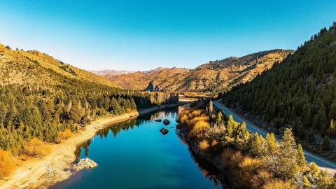
Route 40 skirts Bariloche on a bypass, runs through Dina Huapi on the eastern shore of Lake Nahuel Huapi and, once across the Limay River into Neuquén, turns left toward Villa La Angostura. From there the road follows the lake's northern shore. For years this stretch was Route 231; since 2012 it has been part of Route 40. The whole drive between the two towns is about 88 kilometers.

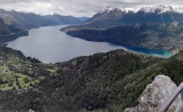
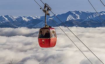
Two stops are worth making before reaching the town center. About 7 kilometers out, on the Bariloche side, lies the Puerto Manzano peninsula, with calm bays where kayaks and SUP boards can be rented in season. Some 700 meters from the bay, the Río Bonito trail takes about 25 minutes to reach a quiet beach on Nahuel Huapi. Farther along, 3 kilometers from the center, is the turnoff for Cerro Bayo: the chairlift climbs to 1,500 meters, and from the top you can see the Quetrihué peninsula stretched out across the lake. On the way up, a short but steep side path of about 200 meters leads to the Río Bonito waterfall.
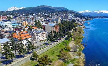
The town takes its name from the "angostura", the narrow Quetrihué isthmus that joins the peninsula to the mainland. The port is 3 kilometers from the center along Bulevar Nahuel Huapi, between Bahía Mansa and Bahía Brava. This is where the 12-kilometer (one-way) trail to Los Arrayanes National Park begins. The park was created in 1971 to protect a forest whose oldest trees are more than 650 years old and over 15 meters tall. If there's no time for the full hike, a detour one kilometer in leads to the Mansa and Norte viewpoints, looking out over the lake's northern arm and the Andes.

To round off the day, the Correntoso River is 3.5 kilometers from the center, right where the Seven Lakes Road begins. It is one of the shortest rivers in the world and a classic fly-fishing spot. Along the way you'll pass the Bandurrias, Arauco and Inalco viewpoints, 4, 5 and 6 kilometers from the center.
- Tour type: Sightseeing and leisure, with short walks
- Difficulty level: Easy (drive and viewpoints); moderate (12 km trail to the arrayán forest)
- Tip: If you plan to walk to Los Arrayanes, start early: it's 12 kilometers each way unless you return by boat. The town bus to Cerro Bayo only runs in winter.