Outings and excursions · Pucón
Palguín Waterfalls: El León, La China and Palguín
Photos: Carlos7252 · CC BY-SA 3.0 / Draceane · CC BY-SA 4.0 / Max Garafulic Escandón · CC BY-SA 4.0 (Wikimedia Commons)
On the road from Pucón to Curarrehue, the Palguín valley hides three waterfalls in native forest, fed by snowmelt from Villarrica and Quetrupillán volcanoes.
Heading out of Pucón on Route 199, the road to Curarrehue, keep an eye out for the Palguín sign. That is where the pavement ends and the road turns south, up the valley toward the volcanoes. In the area known as Palguín Alto, the river drops through a string of waterfalls wrapped in native forest, just a few kilometers apart from one another.

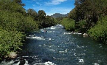
The Palguín is a short river, but it has plenty to draw on: it carries snowmelt from Rucapillán, as Villarrica volcano is also known, and from Quetrupillán, and flows north until it meets the Pucón River. It is fed by both rain and snow, so the strongest floods come between May and July, while from January to March the flow is lower. Same falls in every season, just with a different kind of power.
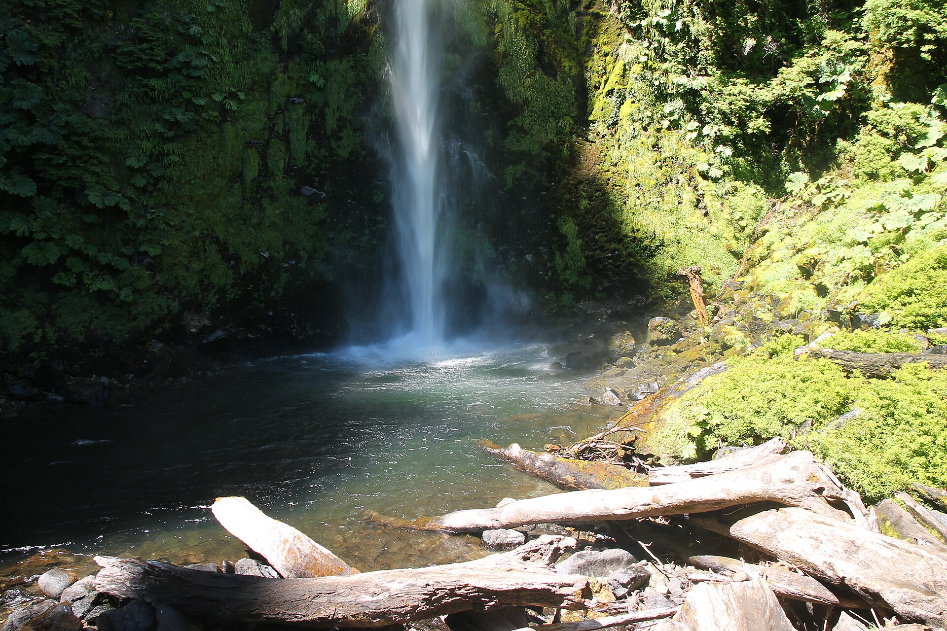
The first one along the way is Salto Palguín, about 26.7 km from Pucón, where a family-friendly forest trail leads to a main viewpoint facing the drop. A little further on, at 27.9 km, comes Salto La China, with short paths to see it from different angles. Last on the route is Salto El León, 29.9 km from town, the final 12 of them on gravel; a short walk through native forest brings you to the foot of the falls, wrapped in the spray.
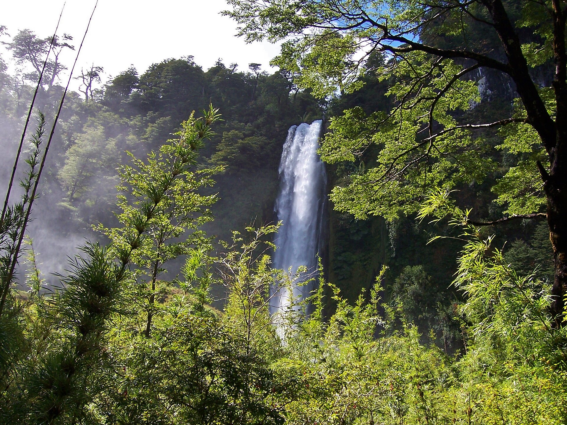
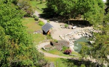
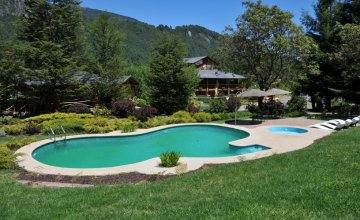
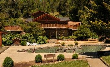
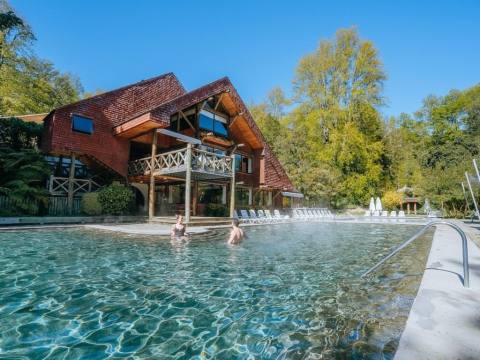
Each waterfall has its own entrance and parking, so you can visit just one or link all three in a single afternoon. To wind down, Termas de Palguín hot springs sit 29.2 km from Pucón in the same valley, with waters rich in sulfur, iron, magnesium and calcium. And if you still have energy, the road to the Quetrupillán sector of Villarrica National Park also starts at Palguín: 17 km from the highway to the CONAF ranger station.
- Tour type: Sightseeing and short walks
- Difficulty level: Easy (short, family-friendly trails)
- Tip: The last stretch is gravel, so take it slow. Wear shoes with good grip: near the falls, rocks and logs are always wet.